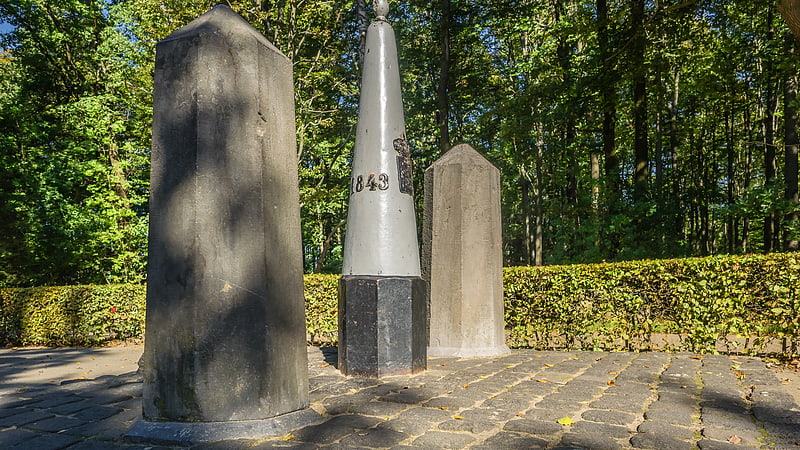
Germany–Netherlands border, Aachen
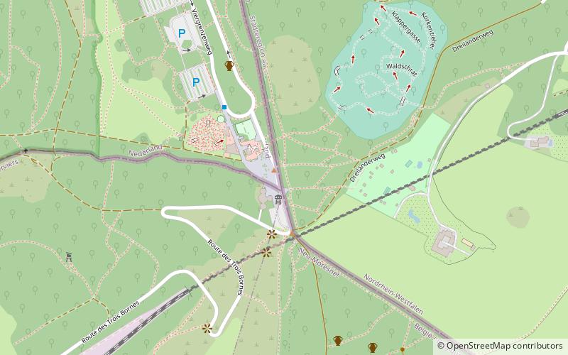
Map
Facts and practical information
The Germany–Netherlands border consists of a 570-kilometre land and maritime border across the Dollart through the Frisian Islands into the North Sea. ()
Address
Laurensberg (Vaalserquartier)Aachen
ContactAdd
Social media
Add
Getting there by public transportation
Public transportation stops near this location
- Bus
 Bus
Bus
- Calculate routePüngelerstraße 26 min walk
- Calculate routeKeltenstraße 27 min walk
- Calculate routeVaals Grenze 29 min walk
- Calculate routeSchmiedgasse 29 min walk
Day trips


Frequently Asked Questions (FAQ)
How to get to Germany–Netherlands border by public transport?
The nearest stations to Germany–Netherlands border:
Bus
Bus
- Püngelerstraße • Lines: 25, 30, 33, 35, 55, 70, N 4 (26 min walk)
- Keltenstraße • Lines: 25, 30, 33, 35, 55, 70, N 4 (27 min walk)