Dublin: Street
Places and attractions in the Street category
Categories
- Museum
- Street
- Church
- Shopping
- Park
- History museum
- Bridge
- Shopping centre
- Nightlife
- Theater
- Concerts and shows
- Specialty museum
- Art museum
- Area
- Art gallery
- Historical place
- Cemetery
- Sport
- Sport venue
- Shopping district
- Forts and castles
- Music venue
- Archaeological site
- Library
- Architecture
- Sacred and religious sites
- Cinema
- Square
- Golf
- Monuments and statues
- Gothic Revival architecture
- Garden
- Arenas and stadiums
- Modern art museum
- Concert hall
- Gothic architecture
- Natural history museum
- Memorial
- City
- Lighthouse
- Bars and clubs
- Vernacular architecture
- Music and shows
- Mosque
- Football
- Universities and schools
- Village
- Neighbourhood
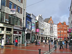
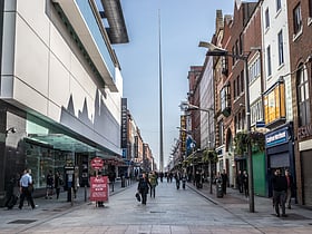
Grafton Street
Grafton Street serves as the beating heart of Dublin's bustling shopping scene, a vibrant artery running through the city's historic center. This pedestrianized boulevard is lined with a diverse array of shops, from high-end designer boutiques to trusted local...
Henry Street
Henry Street, located in the bustling city of Dublin, Ireland, is a thriving shopping district renowned for its vibrant atmosphere and diverse range of retail options. As one of the two principal shopping streets in Dublin, along with Grafton Street, Henry Street...
Wicklow Street
Nestled in the heart of Dublin, Wicklow Street is a vibrant shopping district renowned for its unique blend of boutique shops, artisanal cafes, and independent retailers. This bustling thoroughfare offers a refreshing alternative to the city's larger commercial...
Parnell Street
Parnell Street, nestled in the heart of Dublin, Ireland, stands as a vibrant shopping district that reflects the city's dynamic cultural tapestry. This bustling thoroughfare, characterized by its eclectic mix of retail offerings, has become a must-visit destination for...
Talbot Street
Talbot Street, nestled in the bustling heart of Dublin, Ireland, is a vibrant shopping district known for its eclectic mix of retail offerings and the lively atmosphere that characterizes this bustling thoroughfare. A stone's throw away from the city's central bus...
Nassau Street
Nestled in the heart of Dublin, Nassau Street is an essential destination for shoppers and culture enthusiasts alike. This bustling shopping district, with its historical backdrop, offers a blend of traditional Irish products and contemporary retail experiences.
Abbey Street
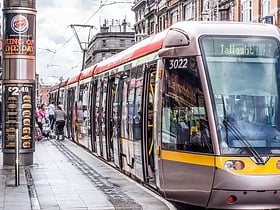
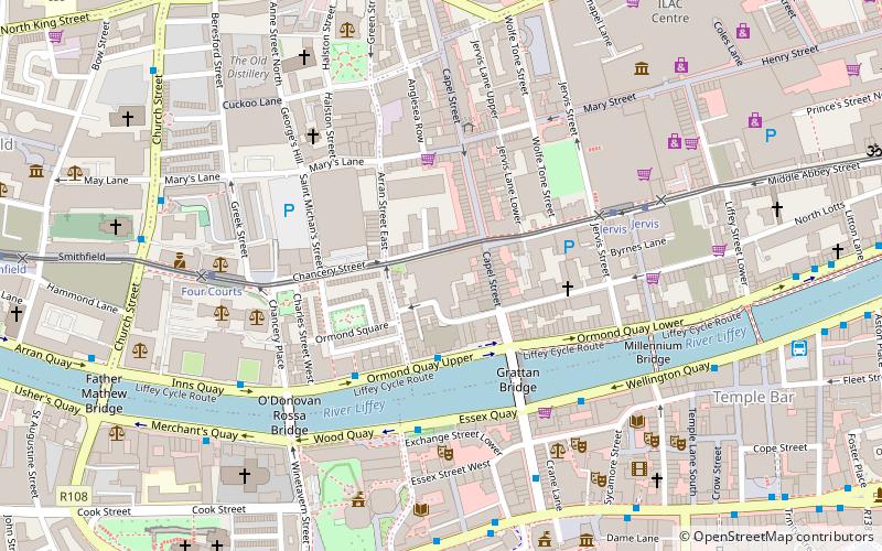
Abbey Street is located on Dublin's Northside, running from the Customs House and Store Street in the east to Capel Street in the west. The street is served by two Luas light rail stops, one at the Jervis shopping centre and the other near O'Connell Street Abbey Street Luas stop.
Christchurch Place
Christchurch Place is a street in central Dublin, Ireland, formerly known as Skinners Row or Skinner's Row.
Camden Street
Camden Street is a street in Dublin 2. It links Ranelagh/Rathmines to the southern city centre of Dublin. It is divided into Camden Street Upper and Camden Street Lower.
Fownes Street
Fownes Street is a street in Dublin in the Republic of Ireland that runs from Wellington Quay in the north to Dame Street in the south.
Aungier Street
Aungier Street is a street on the southside of Dublin, Ireland. It runs north-south as a continuation of South Great George's Street. It is the location of both a Technological University Dublin and a Dublin Business School campus.
Merrion Road
Merrion Road is a major road, part of the R118, in Dublin 4. It joins the Pembroke Road section of the R118 at Herbert Park and runs south-east to Merrion, where it meets the Rock Road, Booterstown.
Sir John Rogerson's Quay
Sir John Rogerson's Quay is a street and quay in Dublin on the south bank of the River Liffey between City Quay in the west and Britain Quay. Named for politician and property developer Sir John Rogerson, the quay was formerly part of Dublin Port. It has some of the few remaining campshire warehouses in Dublin.
Georges Quay
George's Quay is a street and quay in Dublin on the southern bank of the River Liffey. It is located between Burgh Quay and Hawkins Street to the west, and City Quay and Talbot Memorial Bridge to the east.
Home Farm Road
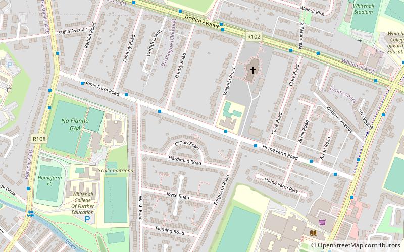
Home Farm Road is a regional road situated in upper Drumcondra, Dublin, Ireland. It is notable for being the place of origin of Home Farm F.C. It was previously named St. Mary's Road up to the tenth house.
Britain Quay
Britain Quay is a street and quay in Dublin on the south bank of the River Liffey between Sir John Rogerson's Quay and the confluence of the River Liffey, River Dodder and Grand Canal.
Amiens Street
Amiens Street is a road in Dublin, Ireland, that runs from Memorial Road to North Strand.
South Great George's Street
South Great George's Street is a street in south-central Dublin, Ireland.
Moore Street
Moore Street is a street in central Dublin, Ireland, off Henry Street, one of Ireland's main shopping streets. The famous Moore Street open-air fruit and vegetable market is Dublin's oldest food market.
Werburgh Street
Werburgh Street is a street in the medieval area of Dublin, Ireland named for St. Werburgh's Church.
Henrietta Street
Henrietta Street is a Dublin street, to the north of Bolton Street on the north side of the city, first laid out and developed by Luke Gardiner during the 1720s.
Sydney Parade Avenue
Sydney Parade Avenue Sandymount, Dublin 4, Ireland runs from the land formerly known as Ailesbury Park opposite the Merrion Centre at the Merrion Road end, to the sea of Dublin Bay at the Strand Road.
The Coombe
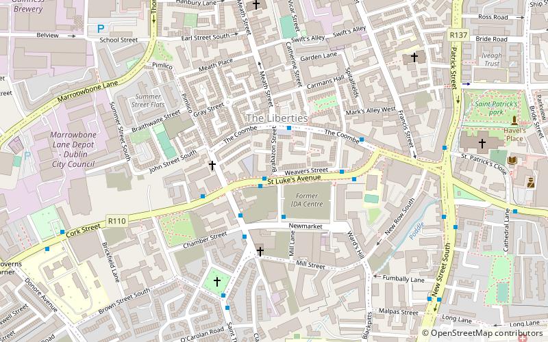
The Coombe is a historic street in the south inner city of Dublin, Ireland. It was originally a hollow or valley where a tributary of the River Poddle, the Coombe Stream or Commons Water, ran.
Westmoreland Street
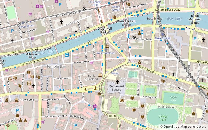
Westmoreland Street is a street on the Southside of Dublin. It is currently a one-way street. It carries a segment of the R138 road for northbound traffic; nearby D'Olier Street carries southbound traffic of that segment.
Harcourt Terrace
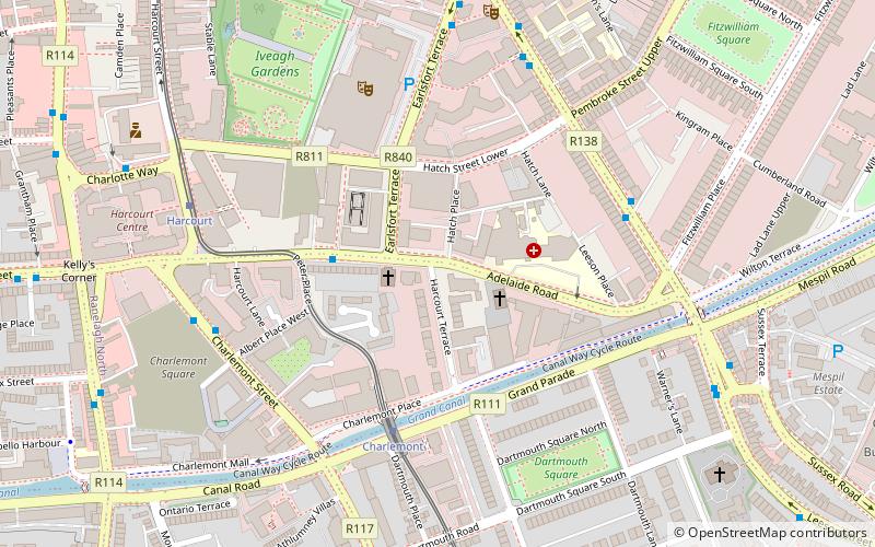
Harcourt Terrace is a well preserved Regency and Victorian terrace located in Dublin City, Ireland. It links the Grand Canal at Charlemont Place with Adelaide Road, near the National Concert Hall.
Hawkins Street
Hawkins Street is a street in central Dublin, Ireland. It runs south from Rosie Hackett Bridge, at its junction with Burgh Quay, for 160 metres to a crossroads with Townsend Street, where it continues as College Street.
D'Olier Street
D'Olier Street is a street in the southern city-centre of Dublin, the capital of Ireland. It and Westmoreland Street are two broad streets whose northern ends meet at the southern end of O'Connell Bridge over the River Liffey.
New Bride Street
New Bride Street is a street in the Dublin 8 area of Dublin in Ireland. It runs between Kevin Street and Heytesbury Street in Dublin's south inner city.
Tara Street
Tara Street is a major traffic route in Dublin, Ireland, partly due to the current one-way traffic flow in the city centre.
Parnell Square
Parnell Square is a Georgian square sited at the northern end of O'Connell Street in the city of Dublin, Ireland. It is in the city's D01 postal district. Formerly named Rutland Square, it was renamed after Charles Stewart Parnell, as was Parnell Street, which forms the southern side of the square.
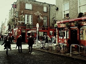
Temple Bar
Live music and the Project Arts Centre Temple Bar is an area on the south bank of the River Liffey in central Dublin, Ireland. The area is bounded by the Liffey to the north, Dame Street to the south, Westmoreland Street to the east and Fishamble Street to the west.
Clanbrassil Street
Clanbrassil Street is a street in Dublin south of the city centre. It runs from Robert Emmet Bridge on the Grand Canal to New Street. It is served by several bus routes. It is divided into Clanbrassil Street Upper and Clanbrassil Street Lower.
Pearse Street
Pearse Street is a major street in Dublin. It runs from College Street in the west to MacMahon Bridge in the east, and is one of the city's longest streets. It has several different types of residential and commercial property along its length.
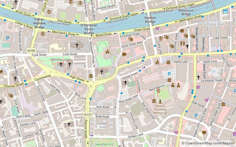
Map

