Dublin: Area
Places and attractions in the Area category
Categories
- Museum
- Street
- Church
- Shopping
- Park
- History museum
- Bridge
- Shopping centre
- Nightlife
- Theater
- Concerts and shows
- Specialty museum
- Art museum
- Area
- Art gallery
- Historical place
- Cemetery
- Sport
- Sport venue
- Shopping district
- Forts and castles
- Music venue
- Archaeological site
- Library
- Architecture
- Sacred and religious sites
- Cinema
- Square
- Golf
- Monuments and statues
- Gothic Revival architecture
- Garden
- Arenas and stadiums
- Modern art museum
- Concert hall
- Gothic architecture
- Natural history museum
- Memorial
- City
- Lighthouse
- Bars and clubs
- Vernacular architecture
- Music and shows
- Mosque
- Football
- Universities and schools
- Village
- Neighbourhood
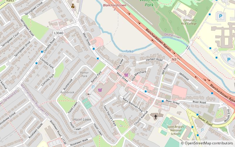
Blanchardstown
Blanchardstown is a large outer suburb of Dublin in the modern county of Fingal, Ireland. Located ten kilometres northwest of Dublin city centre, it has developed since the 1960s from a small village to a point where Greater Blanchardstown is the largest urban area in Fingal.
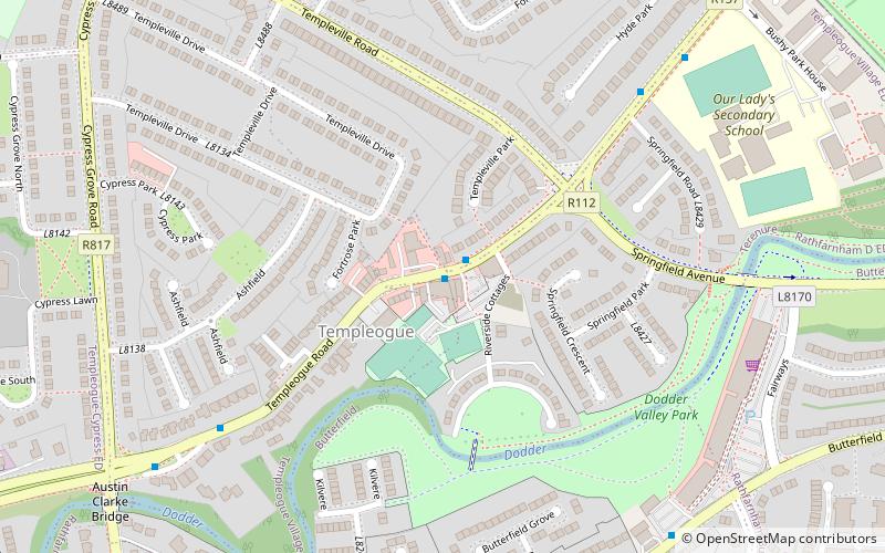
Templeogue
Templeogue is a southwestern suburb of Dublin in Ireland. It lies between the River Poddle and River Dodder, and is about halfway from Dublin's centre to the mountains to the south.
Ballsbridge
Ballsbridge is an affluent neighbourhood of the city of Dublin, the capital of Ireland. The area is largely north and west of a three-arch stone bridge across the River Dodder, on the south side of the city.
University College Dublin
University College Dublin is a public research university in Dublin, Ireland, and a member institution of the National University of Ireland.
Cabinteely
Cabinteely is a suburb of Dublin's southside. It is located in the jurisdiction of Dún Laoghaire–Rathdown, County Dublin, Ireland.
Bull Island
Bull Island, more properly North Bull Island, is an island located in Dublin Bay in Ireland, about 5 km long and 800 m wide, lying roughly parallel to the shore off Clontarf, Raheny, Kilbarrack, and facing Sutton.
Ranelagh
Ranelagh is an affluent residential area and urban village on the Southside of Dublin, Ireland in the postal district of D06.
Raheny
Raheny is a northern suburb of Dublin, Ireland, halfway from the city centre to Howth. It is centred on a historic settlement, first documented in 570 CE.
Clondalkin
Clondalkin is a suburban town situated 10 km south-west of Dublin city centre, Ireland, under the administrative jurisdiction of South Dublin. It features an 8th century round tower that acts as a focal point for the area. Clondalkin forms part of the Dublin Mid-West Dáil constituency.
Monkstown
Monkstown, historically known as Carrickbrennan, is a suburb in south Dublin, located in Dún Laoghaire–Rathdown, Ireland. It is on the coast, between Blackrock and Dún Laoghaire.
Sutton
Sutton is a residential suburb on the Northside of Dublin, Ireland. It occupies the tombolo which links Howth Head to the mainland, some of the lower slopes of Howth Hill, and a little of the adjacent coasts.
Sandycove
Sandycove is a suburb of Dublin, Ireland. It is south east of Dún Laoghaire and Glasthule, and north west of Dalkey. It is a popular seaside resort and is well known for its bathing place, the Forty Foot, which in the past was reserved for men only but is now available for mixed bathing.
Killiney
Killiney is an affluent seaside resort and suburb in Dún Laoghaire–Rathdown, Ireland. It lies south of neighbouring Dalkey, east of Ballybrack and Sallynoggin and north of Shankill. The place grew around the 11th century Killiney Church, and became a popular seaside resort in the 19th century.
Coolock
Coolock is a large suburban area, centred on a village, on Dublin city's Northside in Ireland. Coolock is crossed by the Santry River, a prominent feature in the middle of the district, with a linear park and ponds.
Portmarnock
Portmarnock is a coastal suburban settlement in Fingal, Ireland, with significant beaches, a modest commercial core and inland residential estates, and two golf courses, including one of Ireland's best-known golf clubs.
Ballymun
Ballymun is an outer suburb of Dublin, Ireland, at the northern edge of the Northside, the green-field development of which began in the 1960s to accommodate a housing crisis in inner city areas of Dublin.
Baldoyle
Baldoyle is a coastal suburb of Dublin's northside. It is located in the southeastern part of the jurisdiction of Fingal, Ireland, developed from a former fishing village.
Churchtown
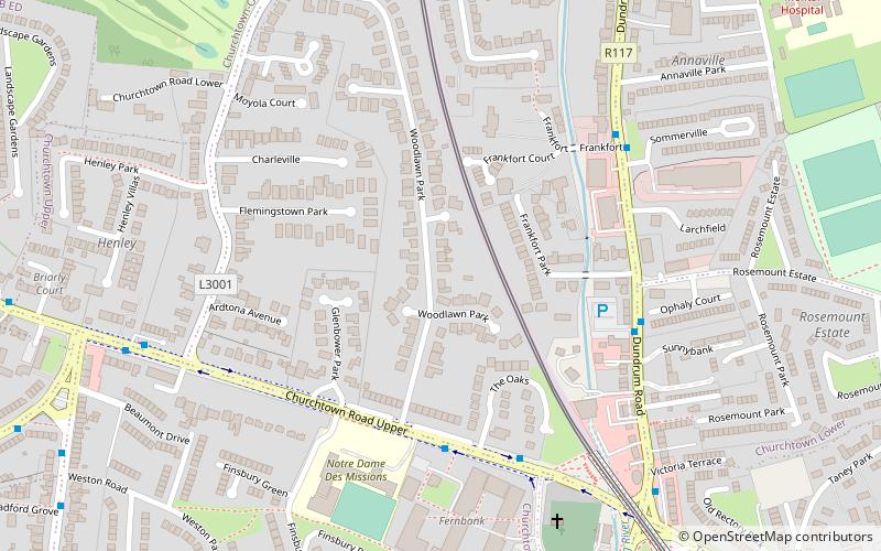
Churchtown is a largely residential suburb on the southside of Dublin, between Rathfarnham and Dundrum.
Crumlin
Crumlin is a Southside suburb of Dublin, Ireland. Formerly a rural area, it became heavily built up from the early 20th century onwards. Crumlin is the site of Ireland's largest children's hospital, Our Lady's Children's Hospital.
Drimnagh
Drimnagh is a suburb in Dublin, Ireland, situated on the Southside of the city between Walkinstown, Crumlin and Inchicore, bordered by the Grand Canal to the north and east. Drimnagh is in postal district Dublin 12.
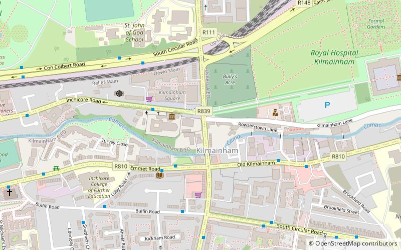
Kilmainham
Kilmainham is an inner suburb of Dublin, Ireland, south of the River Liffey and west of the city centre. It is in the city's D08 postal district. The area was once known as Kilmanum.
Rathfarnham
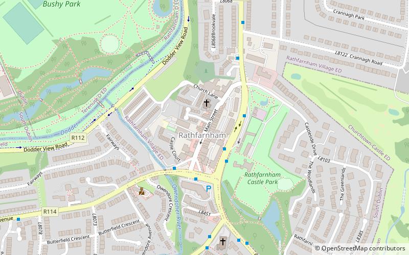
Rathfarnham is a Southside suburb of Dublin, Ireland. It is south of Terenure, east of Templeogue, and is in the postal districts of Dublin 14 and 16.
Rathgar
Rathgar, is a suburb of Dublin in Ireland. It was originally a village which from 1862 was part of the township of Rathmines and Rathgar; it was absorbed by the growing city and became a suburb in 1930.
Santry
Santry is a suburb on the northside of Dublin, Ireland, bordering Coolock, Glasnevin, Kilmore and Ballymun. It straddles the boundary of Dublin City Council and Fingal County Council jurisdictions.
Clontarf
Clontarf is an affluent coastal suburb on the Northside of Dublin in the city's Dublin 3 postal district. Historically there were two centres of population, one on the coast towards the city, and the fishing village of Clontarf Sheds, further north on the coast at what is now Vernon Avenue.
Smithfield
Smithfield is an area on the Northside of Dublin. Its focal point is a public square, formerly an open market, now officially called Smithfield Plaza, but known locally as Smithfield Square or Smithfield Market.
Drumcondra
Drumcondra is a residential area and inner suburb on the Northside of Dublin, Ireland. It is administered by Dublin City Council. The River Tolka and the Royal Canal flow through the area.
Glasnevin
Glasnevin is a neighbourhood of Dublin, Ireland, situated on the River Tolka. While primarily residential, Glasnevin is also home to the National Botanic Gardens, Glasnevin Cemetery, the National Meteorological Office, and a range of other state bodies, and Dublin City...
Phibsborough
Phibsborough, also spelled Phibsboro, is a mixed commercial and residential neighbourhood on the Northside of Dublin, Ireland. The Bradogue River crosses the area in a culvert, and the Royal Canal passes through its northern reaches, notably at Cross Guns Bridge.
Mount Merrion
Mount Merrion is a suburb of Dublin, Ireland. It is roughly 7 kilometres south of Dublin city centre and is situated on and around the hill of the same name.
Artane
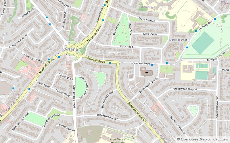
Artane, sometimes spelled Artaine, historically Tartaine is a northside suburb of Dublin city, Ireland. It is also a civil parish in the ancient barony of Coolock.
Map

