Forte Richelieu, Genoa
Map

Gallery

Facts and practical information
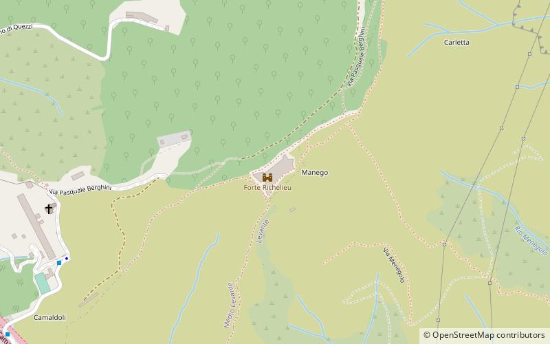
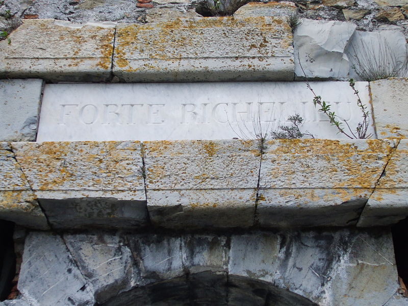
Fort Richelieu is a fort located on the Camaldoli hill, a watershed between the Quezzi and Sturla stream valleys; with Fort Monteratti to the north, Fort Quezzi to the west, and the forts of Santa Tecla, San Martino, and San Giuliano to the southwest, it formed an effective defensive sector protecting the northeast of the city of Genoa.
Coordinates: 44°25'17"N, 8°59'30"E
Address
Genoa
ContactAdd
Social media
Add
Day trips
Forte Richelieu – popular in the area (distance from the attraction)
Nearby attractions include: Forte Monteratti, Forte di Santa Tecla, Torre Quezzi, Forte San Martino.
Frequently Asked Questions (FAQ)
How to get to Forte Richelieu by public transport?
The nearest stations to Forte Richelieu:
Bus
Bus
- Camaldoli / Capolinea • Lines: 604, 67 (10 min walk)
- Cadighiara 3 / ex Dazio • Lines: 584, 685, 686, 85, 86, 88 (12 min walk)


