Forte di Santa Tecla, Genoa
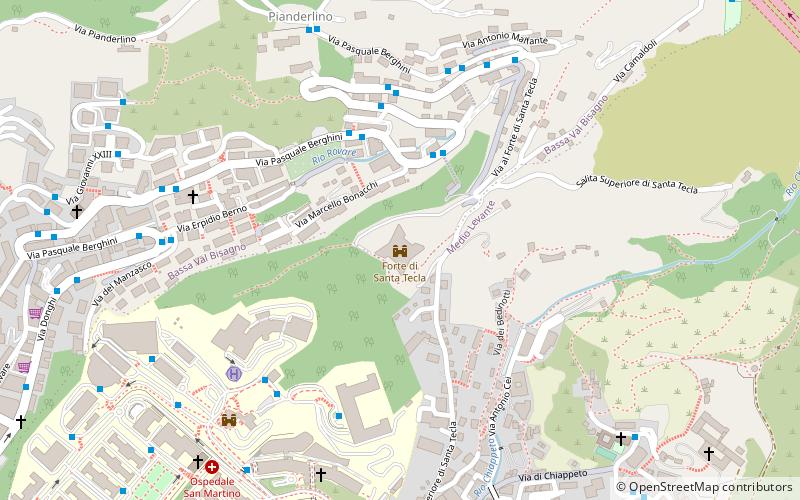
Map

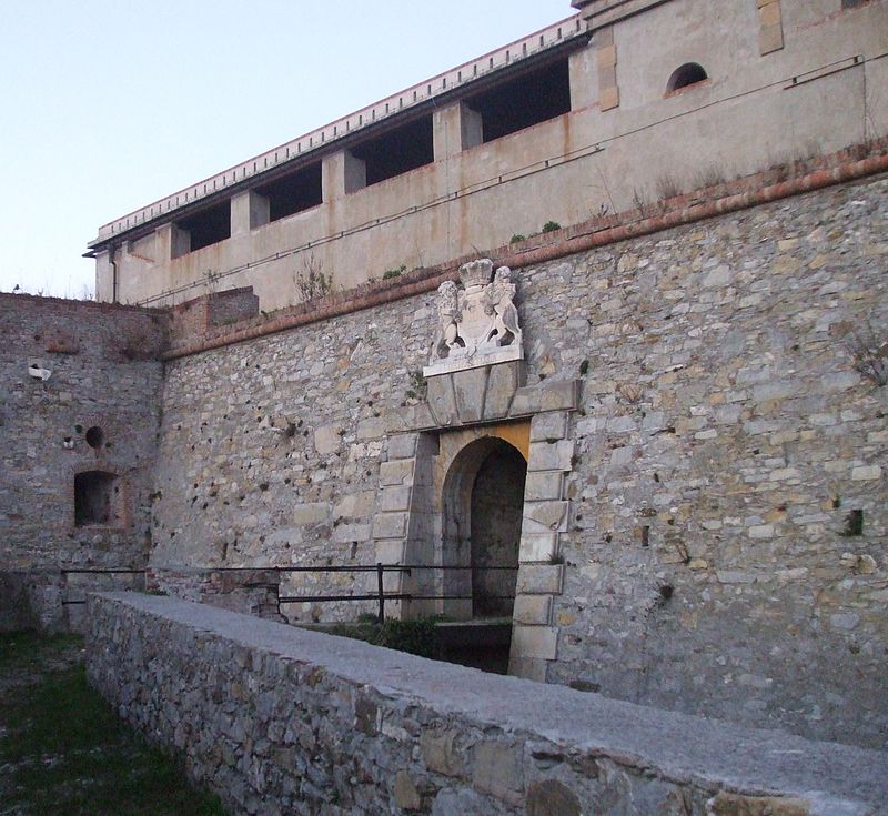
Gallery

Facts and practical information
The name Forte Santa Tecla may refer to: Forte Santa Tecla, fortification of the defense system of Genoa, Forte Santa Tecla, eighteenth-century fortification in the city of San Remo
Coordinates: 44°24'46"N, 8°58'38"E
Address
Bassa Val Bisagno (San Fruttuoso)Genoa
ContactAdd
Social media
Add
Day trips
Forte di Santa Tecla – popular in the area (distance from the attraction)
Nearby attractions include: Stadio Luigi Ferraris, Villa Imperiale, Santuario di Nostra Signora del Monte, Forte Richelieu.
Frequently Asked Questions (FAQ)
Which popular attractions are close to Forte di Santa Tecla?
Nearby attractions include Santuario di Nostra Signora del Monte, Genoa (17 min walk), Forte San Martino, Genoa (20 min walk), Villa Imperiale, Genoa (21 min walk).
How to get to Forte di Santa Tecla by public transport?
The nearest stations to Forte di Santa Tecla:
Bus
Train
Bus
- Berghini 9 / Bonacchi • Lines: 604, 67 (3 min walk)
Train
- Genova Sturla (27 min walk)


