Via dei Fori Imperiali, Rome
Map
Gallery
Facts and practical information
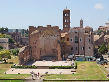
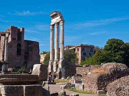
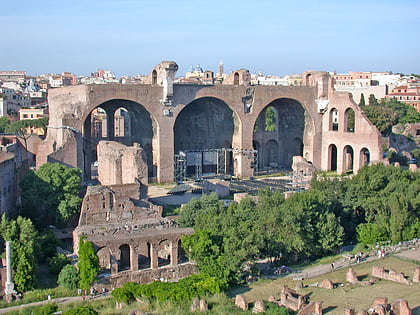
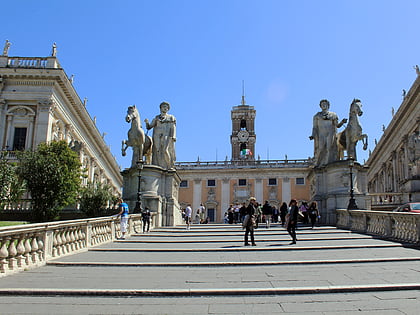
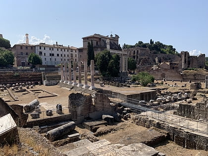
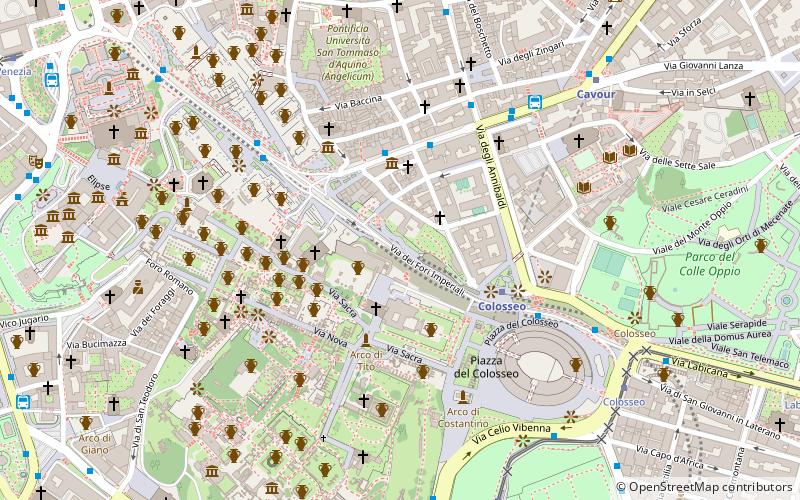
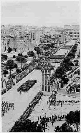
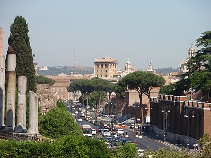
The Via dei Fori Imperiali is a road in the centre of the city of Rome, Italy, that runs in a straight line from the Piazza Venezia to the Colosseum. Its course takes it over parts of the Forum of Trajan, Forum of Augustus and Forum of Nerva, parts of which can be seen on both sides of the road. Since the 1990s, there has been a great deal of archeological excavation on both sides of the road, as significant Imperial Roman relics remain to be found underneath it. ()
Day trips
Via dei Fori Imperiali – popular in the area (distance from the attraction)
Nearby attractions include: Colosseum, Roman Forum, Arch of Constantine, Tabularium.
Frequently Asked Questions (FAQ)
Which popular attractions are close to Via dei Fori Imperiali?
Nearby attractions include Basilica of Maxentius, Rome (2 min walk), Colossus of Constantine, Rome (2 min walk), Santa Francesca Romana, Rome (2 min walk), Temple of Peace, Rome (2 min walk).
How to get to Via dei Fori Imperiali by public transport?
The nearest stations to Via dei Fori Imperiali:
Bus
Metro
Tram
Ferry
Light rail
Train
Trolleybus
Bus
- Cavour/Ricci • Lines: 117, 75, n2, n2;nMB (3 min walk)
- Colosseo • Lines: 117, 118, 51, 75, 85, 87, n2, n2;nMB (4 min walk)
Metro
- Colosseo • Lines: B (4 min walk)
- Cavour • Lines: B (8 min walk)
Tram
- Colosseo • Lines: 3, 8 (8 min walk)
- Parco Celio • Lines: 3, 8 (9 min walk)
Ferry
- Isola Tiberina • Lines: Battelli di Roma (18 min walk)
- Ponte Cavour (30 min walk)
Light rail
- Roma Termini • Lines: Fl6, Fl7 (23 min walk)
- Termini Laziali • Lines: Fc1 (25 min walk)
Train
- Roma Termini (23 min walk)
Trolleybus
- XX Settembre/Min. Finanze • Lines: 90 (27 min walk)
- Volturno/Cernaia • Lines: 90 (27 min walk)
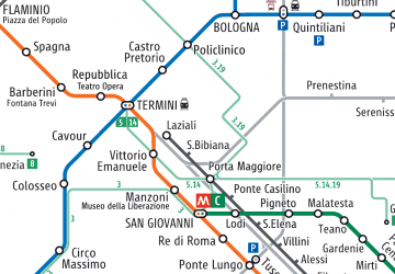 Metro / Tram / Rail


