Col dei Bos, Dolomites
Map

Map

Facts and practical information
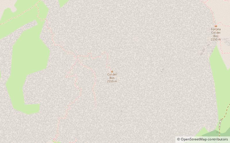
Col dei Bos is a mountain relief that is part of the Tofane group, within the Ampezzo Dolomites, west of Cortina d'Ampezzo and northeast of Livinallongo del Col di Lana.
Coordinates: 46°31'45"N, 12°1'47"E
Address
Dolomites
ContactAdd
Social media
Add
Day trips
Col dei Bos – popular in the area (distance from the attraction)
Nearby attractions include: Pocol, Forte Tre Sassi, Cinque Torri, Lagazuoi.
Frequently Asked Questions (FAQ)
How to get to Col dei Bos by public transport?
The nearest stations to Col dei Bos:
Bus
Bus
- Ra Nona • Lines: 1/3/30/31, 30/31, 30Skibus, 72 (18 min walk)
- Cinque Torri • Lines: 1/3/30/31, 30/31, 30Skibus, 72 (19 min walk)


