Lodner, Texelgruppe Nature Park
#5 among attractions in Texelgruppe Nature Park
![Lodner location map](https://tzmedia.b-cdn.net/media/images/static-maps/it/46_7337_11_0402.jpg)
Facts and practical information
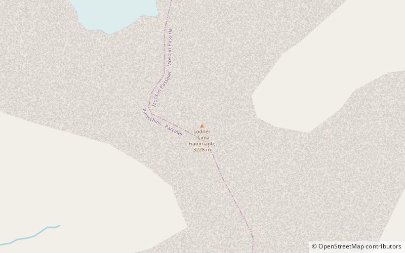
The Lodner is a mountain in the Ötztal Alps in South Tyrol, Italy. ()
Texelgruppe Nature Park Italy
Texelgruppe Nature Park plan & book
Unleash the traveler in you — discover the cheapest flight deals, find the perfect hotel or hostel nearby, and search for the best car rental prices. Travel at your own pace to discover new places and enjoy your journey.
Lodner – popular in the area (distance from the attraction)
Nearby attractions include: Hochwilde, Spronser Lakes, Leiteralm, Hinterer Seelenkogel.
2.3 miNNatural attraction, MountainHochwilde, Texelgruppe Nature Park
60 min walk • The Hochwilde or Hohe Wilde is a mountain in the Ötztal Alps on the border between Tyrol, Austria, and South Tyrol, Italy.
2.3 miELakeSpronser Lakes, Texelgruppe Nature Park
60 min walk • The Spronser Lakes is the largest group of high elevation lakes in the Alps, located in South Tyrol, Italy. It is located in the eastern part of the Texel Group. Eight to ten lakes of significant size such as the Grünsee, the Langsee, the two Milchseen or the small Mückensee occupy a total area of 30 hectares.
3.9 miSE 4.7 miNNatural attraction, MountainHinterer Seelenkogel, Texelgruppe Nature Park
120 min walk • The Hinterer Seelenkogel is a mountain in the Gurgler Kamm group of the Ötztal Alps.
0.8 miNNatural attraction, MountainHohe Weisse, Texelgruppe Nature Park
22 min walk • The Hohe Weisse or Hochweisse is a mountain in the Texel group of the Ötztal Alps. Its parent peak is the Hochwilde. The easiest route to the summit is the Willy-Ahrens-weg.
4.1 miNWNature, Natural attraction, MountainKarlesspitze
104 min walk • The Karlesspitze or Grubspitze is a mountain in the Schnalskamm group of the Ötztal Alps on the border between Tyrol, Austria, and South Tyrol, Italy.
2.7 miWNatural attraction, MountainRoteck, Texelgruppe Nature Park
70 min walk • The Roteck is the highest peak in the Texel group of the Ötztal Alps.
3.4 miWNatural attraction, MountainTexelspitze, Texelgruppe Nature Park
87 min walk • The Texelspitze is a mountain in the Texel group of the Ötztal Alps.
3.2 miSWNatural attraction, MountainGfallwand, Texelgruppe Nature Park
81 min walk • The Gfallwand is a mountain in the Texel group of the Ötztal Alps. Parent peaks are the Zielspitze, Lahnbachspitze and Schwarze Wand. On the south side of the mountain is also a little lake, Pircher Lacke. The easiest route to the summit leads along the Ginggljoch.
3.7 miSE 2.1 miNNatural attraction, Natural featureTexel Group, Texelgruppe Nature Park
54 min walk • The Texel Group is a group of mountains of the Ötztal Alps in the Eastern Rhaetian Alps. It is located in South Tyrol in Italy. The mountain range is part of the Texelgruppe Nature Park and is crossed by the Meraner Höhenweg, a high level footpath.