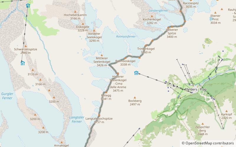
Hinterer Seelenkogel, Texelgruppe Nature Park

Gallery (1)
Map
Map
Facts and practical information
The Hinterer Seelenkogel is a mountain in the Gurgler Kamm group of the Ötztal Alps. ()
Local name: Cima delle Anime First ascent: 1871Elevation: 11391 ftProminence: 1453 ftCoordinates: 46°48'6"N, 11°2'40"E
Address
Texelgruppe Nature Park
ContactAdd
Social media
Add
Day trips