Roteck, Texelgruppe Nature Park

Gallery (1)
Map
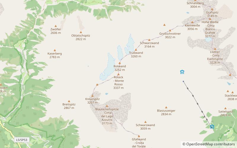
Map
Facts and practical information
The Roteck is the highest peak in the Texel group of the Ötztal Alps. ()
Local name: Monte Rosso First ascent: 1872Elevation: 10948 ftProminence: 1585 ftCoordinates: 46°43'25"N, 10°59'3"E
Address
Texelgruppe Nature Park
ContactAdd
Social media
Add
Day trips


