Aiguille de Tré la Tête
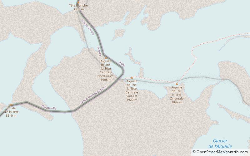
Map
Map

Facts and practical information
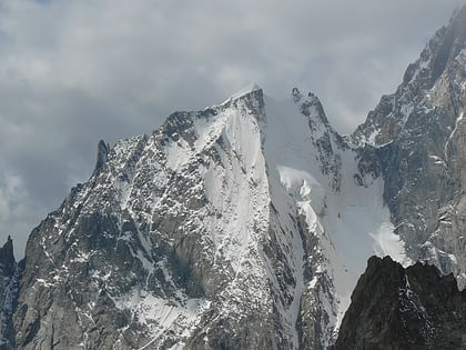
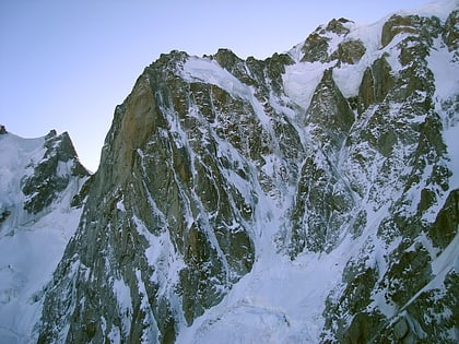
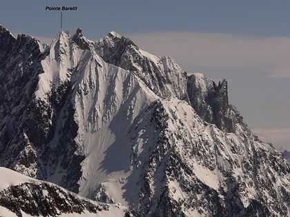
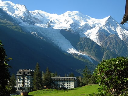
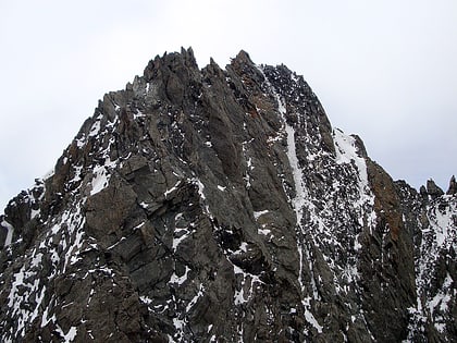
The Aiguille de Tré-la-Tête is a mountain in the south of the Mont Blanc massif. Its highest point, the central southeast pinnacle, is 3,930 metres above sea level and is located in Italy. Only the northwest pinnacle is situated on the border with France. It forms a chain with the Dômes de Miage. ()
Local name: Aiguilles de Trélatête First ascent: 1864Elevation: 12894 ftProminence: 1929 ftCoordinates: 45°47'41"N, 6°48'53"E
Location
Aosta Valley
ContactAdd
Social media
Add
Day trips
Aiguille de Tré la Tête – popular in the area (distance from the attraction)
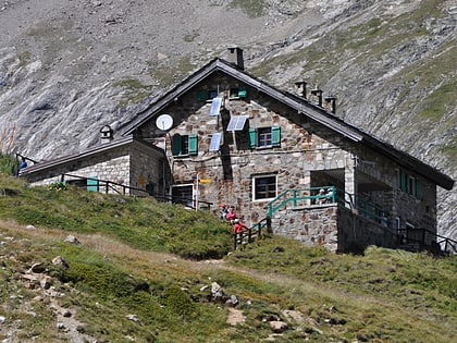
Nearby attractions include: Gonella Hut, Mont Blanc de Courmayeur, Aiguille Blanche de Peuterey, Durier Hut.


