Durier Hut, Mont Blanc

Gallery (1)
Map
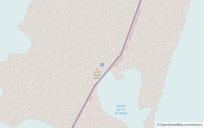
Map
Facts and practical information
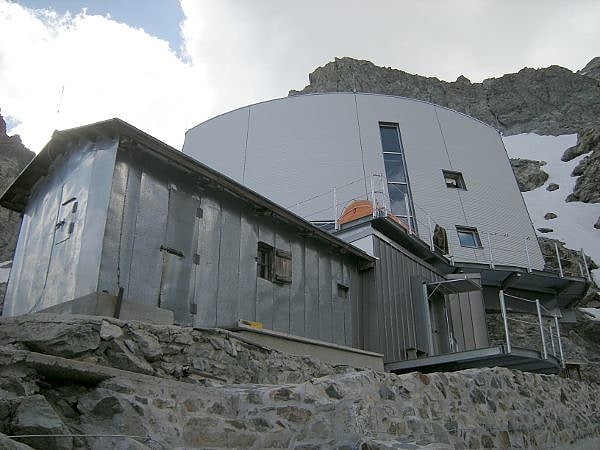
The Durier Hut is a mountain hut in the Mont Blanc massif of the Alps. It is located in Haute-Savoie department of France on the French/Italian border at an altitude of 3358 m. ()
Address
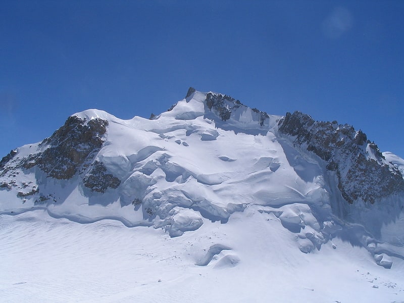
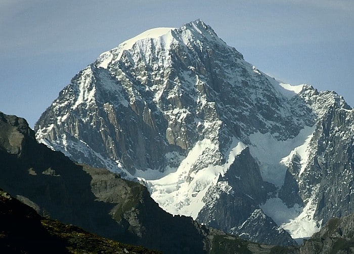
Mont Blanc
ContactAdd
Social media
Add
Day trips