Östliche Marzellspitze

Gallery (1)
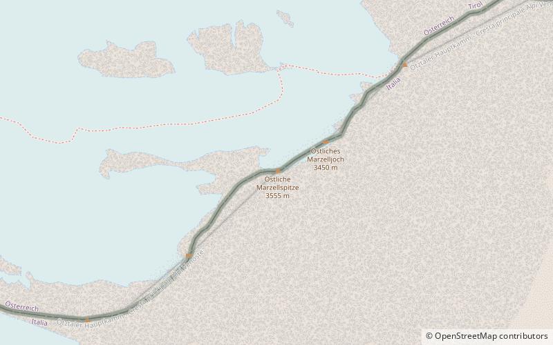
Map
Map
Facts and practical information
Location
Trentino-South Tyrol
ContactAdd
Social media
Add
Day trips
Trentino-South Tyrol
Where to next? Visit ![]() Trentino-South Tyrol region page or discover the top tourist attractions in Italy.
Trentino-South Tyrol region page or discover the top tourist attractions in Italy.


