Sant'Omobono Area, Rome
Map
Gallery
Facts and practical information
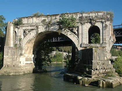
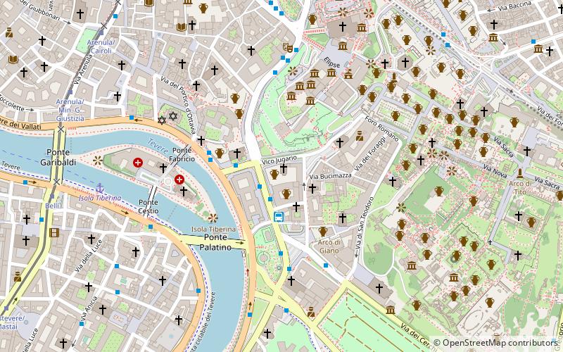
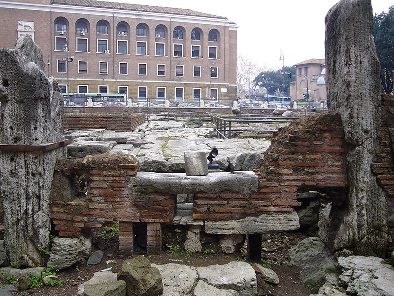
The Sant'Omobono Area is an archaeological site in Rome next to the church of Sant'Omobono, at the junction of via L. Petroselli and il Vico Jugario at the foot of the Campidoglio. It was discovered in 1937 and contains much important evidence for archaic and republican Rome. It contains altars and the sites of the temple of Fortuna and the temple of Mater Matuta. ()
Address
RipaRome
ContactAdd
Social media
Add
Day trips
Sant'Omobono Area – popular in the area (distance from the attraction)
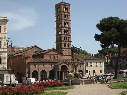
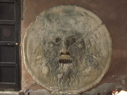
Nearby attractions include: Theatre of Marcellus, Capitoline Hill, Santa Maria in Cosmedin, Bocca della Verità.
Frequently Asked Questions (FAQ)
Which popular attractions are close to Sant'Omobono Area?
Nearby attractions include Sant'Omobono, Rome (1 min walk), San Giovanni Battista Decollato, Rome (2 min walk), San Nicola in Carcere, Rome (2 min walk), Tarpeian Rock, Rome (3 min walk).
How to get to Sant'Omobono Area by public transport?
The nearest stations to Sant'Omobono Area:
Bus
Ferry
Tram
Metro
Light rail
Train
Trolleybus
Bus
- Petroselli • Lines: 118, 130F, 160, 170, 30, 44, 44F, 51, 628, 715, 716, 781, 81, 83, 85, 87, C3, n19, n3, n9 (1 min walk)
- Foro Olitorio • Lines: H (2 min walk)
Ferry
- Isola Tiberina • Lines: Battelli di Roma (8 min walk)
- Ponte Cavour (26 min walk)
Tram
- Venezia • Lines: 8 (9 min walk)
- Belli • Lines: 8 (10 min walk)
Metro
- Colosseo • Lines: B (14 min walk)
- Circo Massimo • Lines: B (16 min walk)
Light rail
- Roma Porta San Paolo • Lines: Fc2 (27 min walk)
- Roma Termini • Lines: Fl6, Fl7 (33 min walk)
Train
- Roma Termini (33 min walk)
- Quattro Venti (37 min walk)
Trolleybus
- XX Settembre/Min. Finanze • Lines: 90 (34 min walk)
- Volturno/Cernaia • Lines: 90 (35 min walk)

 Metro / Tram / Rail

