Ponte Romano, Rieti
Map

Gallery

Facts and practical information
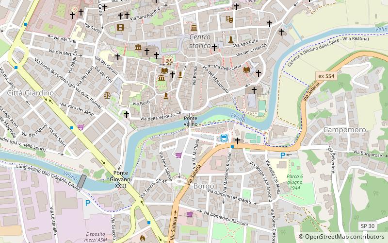
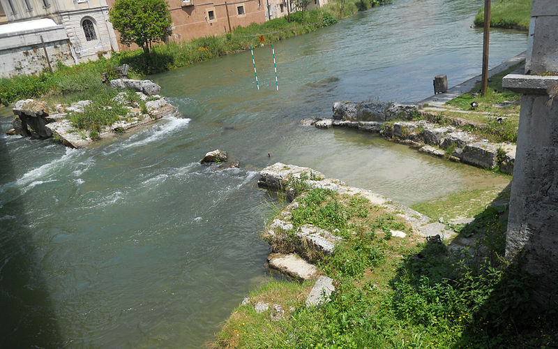
The Roman Bridge is a bridge from Roman times that spanned the Velino River in Rieti. Demolished in the 1930s, it lies in the riverbed and is flanked by a modern bridge, known by the same name but more appropriately named Velino Bridge or Roma Bridge.
It was part of the ancient Salaria consular road, and continued to be part of the artery until the latter part of the nineteenth century.
Coordinates: 42°23'59"N, 12°51'40"E
Address
Rieti
ContactAdd
Social media
Add
Day trips
Ponte Romano – popular in the area (distance from the attraction)
Nearby attractions include: Stadio Raul Guidobaldi, San Domenico, Museo Civico di Rieti, St. Francis of Assisi Church.
Frequently Asked Questions (FAQ)
Which popular attractions are close to Ponte Romano?
Nearby attractions include Museo Civico di Rieti, Rieti (4 min walk), St. Francis of Assisi Church, Rieti (4 min walk), San Rufo, Rieti (5 min walk), Piazza San Rufo, Rieti (5 min walk).
How to get to Ponte Romano by public transport?
The nearest stations to Ponte Romano:
Bus
Train
Bus
- Autostazione ASM (2 min walk)
- Autostazione Cotral (11 min walk)
Train
- Rieti (12 min walk)


