San Saba, Rome
Map

Gallery
Facts and practical information
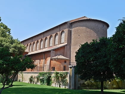
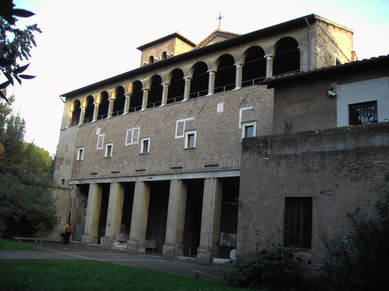
San Saba is an ancient basilica church in Rome, Italy. It lies on the so-called Piccolo Aventino, which is an area close to the ancient Aurelian Walls next to the Aventine Hill and Caelian Hill. ()
Day trips
San Saba – popular in the area (distance from the attraction)
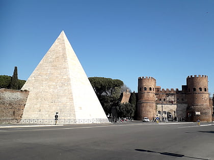
Nearby attractions include: Terme di Caracalla, Circus Maximus, Piramide Cestia, Santa Sabina.
Frequently Asked Questions (FAQ)
Which popular attractions are close to San Saba?
Nearby attractions include Piazza Albania, Rome (5 min walk), Porta San Paolo, Rome (7 min walk), Santa Balbina, Rome (7 min walk), Viale Aventino, Rome (7 min walk).
How to get to San Saba by public transport?
The nearest stations to San Saba:
Bus
Tram
Light rail
Metro
Ferry
Train
Bus
- Bernini • Lines: 715 (1 min walk)
- S. Saba/Ponzio F. • Lines: 715 (1 min walk)
Tram
- Albania • Lines: 3, 8 (4 min walk)
- Aventino/Albania • Lines: 3, 8 (5 min walk)
Light rail
- Roma Porta San Paolo • Lines: Fc2 (8 min walk)
Metro
- Piramide • Lines: B (8 min walk)
- Circo Massimo • Lines: B (10 min walk)
Ferry
- Isola Tiberina • Lines: Battelli di Roma (25 min walk)
Train
- Roma Trastevere (28 min walk)

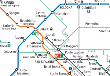 Metro / Tram / Rail


