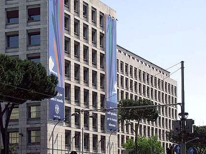
Palazzo FAO, Rome
Map
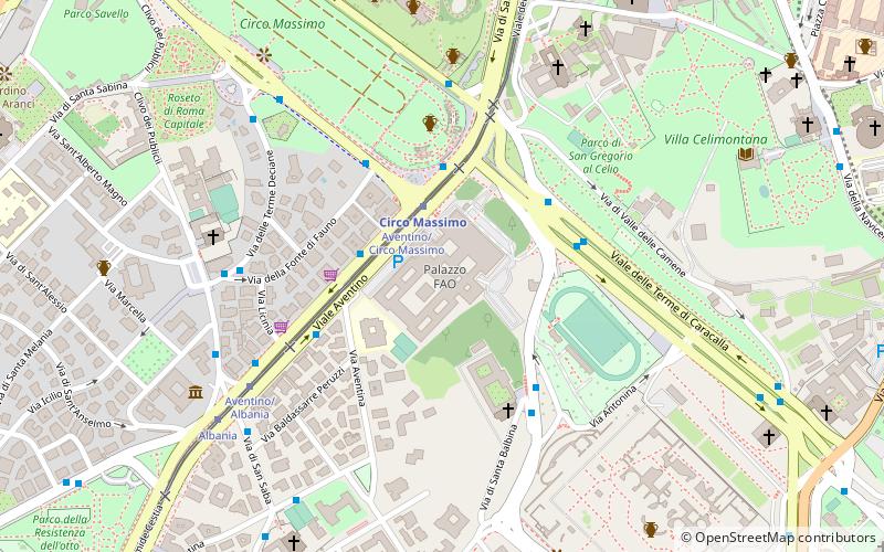
Map

Facts and practical information
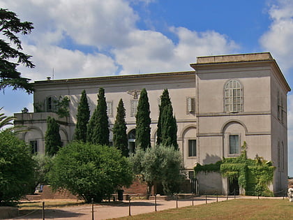
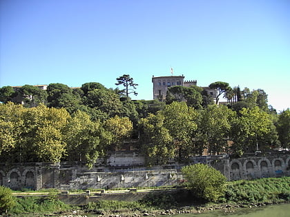
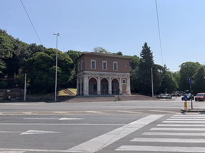
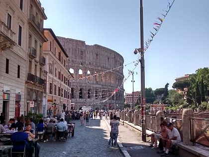
The FAO Building is the international headquarters of the Food and Agriculture Organization, located in the San Saba rione of Rome, Italy. Originally built under the Fascist government of Italy in the 1930s to be the seat of the Ministry of Italian Africa, the building was repurposed after World War II to be the headquarters of the then-new United Nations' agricultural agency, the FAO. The building is located the in one of the most scenic parts of Rome, southeast of the Aventine Hill, and overlooking the Baths of Caracalla and the Circus Maximus. ()
Day trips
Palazzo FAO – popular in the area (distance from the attraction)
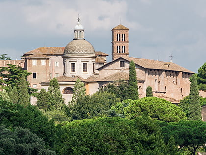
Nearby attractions include: Domus Augustana, Terme di Caracalla, Circus Maximus, Theatre of Marcellus.
Frequently Asked Questions (FAQ)
Which popular attractions are close to Palazzo FAO?
Nearby attractions include David Lubin Memorial Library, Rome (1 min walk), Viale Aventino, Rome (3 min walk), Porta Capena, Rome (4 min walk), Santa Balbina, Rome (4 min walk).
How to get to Palazzo FAO by public transport?
The nearest stations to Palazzo FAO:
Tram
Metro
Bus
Light rail
Ferry
Train
Tram
- Aventino/Circo Massimo • Lines: 3, 8 (2 min walk)
- Albania • Lines: 3, 8 (7 min walk)
Metro
- Circo Massimo • Lines: B (2 min walk)
- Piramide • Lines: B (16 min walk)
Bus
- Circo Massimo • Lines: 118, 160, 51, 628, 673, 75, 81, 85, 87, C3, n10, n11, n2, n2;nMB (3 min walk)
- Aventino • Lines: 673, 75, n10, n11, n2, n2;nMB (3 min walk)
Light rail
- Roma Porta San Paolo • Lines: Fc2 (16 min walk)
- Termini Laziali • Lines: Fc1 (35 min walk)
Ferry
- Isola Tiberina • Lines: Battelli di Roma (22 min walk)
Train
- Roma Trastevere (35 min walk)
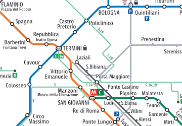 Metro / Tram / Rail


