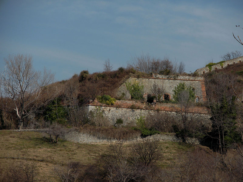
Forte Crocetta, Genoa
Map

Gallery

Facts and practical information
Forte Crocetta is a disused military structure that is part of Genoa's defensive fortifications. The fort is located just upstream of Belvedere, on the heights of Sampierdarena. It is located near the village of Crocetta, on the area formerly occupied by the 17th-century convent of the Augustinians and the adjoining church of the Santissimo Crocifisso, built by the religious Fr. Gio. Batta Fabra, of the Congregation of Augustinian Hermits.
Coordinates: 44°25'27"N, 8°53'47"E
Address
Centro Ovest (Granarolo)Genoa
ContactAdd
Social media
Add
Day trips
Forte Crocetta – popular in the area (distance from the attraction)
Nearby attractions include: Genoa-Saint George Bridge, Val Polcevera, Santuario di San Francesco da Paola, Santuario di Nostra Signora Incoronata.
Frequently Asked Questions (FAQ)
Which popular attractions are close to Forte Crocetta?
Nearby attractions include Forte Tenaglia, Genoa (5 min walk), Chiesa di San Bartolomeo di Promontorio, Genoa (11 min walk), Santuario di Nostra Signora di Belvedere, Genoa (12 min walk), Genoa-Saint George Bridge, Genoa (12 min walk).
How to get to Forte Crocetta by public transport?
The nearest stations to Forte Crocetta:
Bus
Metro
Train
Bus
- Powell 2 • Lines: 59, 59/ (5 min walk)
- Martinetti 1 / Bivio Belvedere • Lines: 66, 660 (5 min walk)
Metro
- Brin • Lines: Metropolitana (7 min walk)
- Dinegro • Lines: Metropolitana (27 min walk)
Train
- Granarolo (21 min walk)
- Genova Rivarolo (23 min walk)


