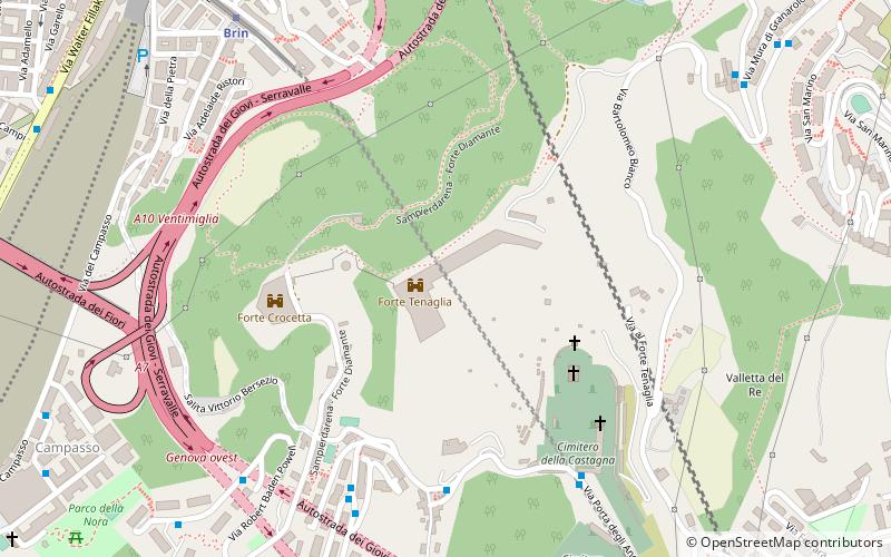
Forte Tenaglia, Genoa
Map

Map

Facts and practical information
Forte Tenaglia is a fortified work dating back to 1633, originally included in the course of the "New Walls" defending the city, on the heights of Sampierdarena on a ridge overlooking the Polcevera valley. It owes its name to the particular architectural conformation that resembles a pincer, a work that in military architecture is called a "horn work."
Coordinates: 44°25'28"N, 8°53'59"E
Day trips
Forte Tenaglia – popular in the area (distance from the attraction)
Nearby attractions include: Galata Museo del Mare, Genoa-Saint George Bridge, Albertis Castle, Val Polcevera.
Frequently Asked Questions (FAQ)
Which popular attractions are close to Forte Tenaglia?
Nearby attractions include Forte Crocetta, Genoa (5 min walk), Chiesa di San Bartolomeo di Promontorio, Genoa (11 min walk), Santuario di Nostra Signora di Belvedere, Genoa (14 min walk), Forte Belvedere, Genoa (16 min walk).
How to get to Forte Tenaglia by public transport?
The nearest stations to Forte Tenaglia:
Bus
Metro
Train
Bus
- Porta Angeli 3 / Promontorio • Lines: 66, 660 (5 min walk)
- Martinetti 1 / Bivio Belvedere • Lines: 66, 660 (6 min walk)
Metro
- Brin • Lines: Metropolitana (9 min walk)
- Dinegro • Lines: Metropolitana (25 min walk)
Train
- Granarolo (17 min walk)
- Genova Rivarolo (24 min walk)


