La Galera, Elba
Map

Map

Facts and practical information
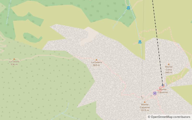
La Galera is a mountain on the island of Elba, located in the western part of the island and part of the Monte Capanne chain. The place-name, first attested in a 1780 cartography as Monte della Galera, may derive from the pastoral enclosures in the area, which "could appear, in the eyes of the locals, as funereal places of confinement." The peak, characterized by a vast 57-meter-high conchoid cliff, lies between Mt. Huts and Mt. Table.
From Galera passes the via ferrata of Mt. Huts.
Coordinates: 42°46'26"N, 10°9'47"E
Address
Elba
ContactAdd
Social media
Add
Day trips
La Galera – popular in the area (distance from the attraction)
Nearby attractions include: Romitorio di San Cerbone, Monte Corto, Monte Tiratoio, Le Calanche.
Frequently Asked Questions (FAQ)
Which popular attractions are close to La Galera?
Nearby attractions include Monte Corto, Elba (9 min walk), La Tavola, Elba (10 min walk), Romitorio di San Cerbone, Elba (16 min walk), Monte di Cote, Elba (16 min walk).


