La Stretta, Elba

Gallery (1)
Map
Map
Facts and practical information
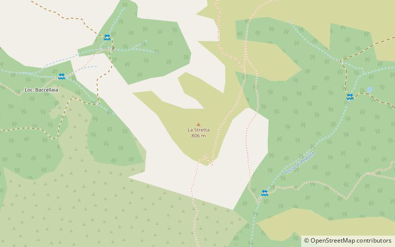
La Stretta is a relief on the island of Elba. Located in the western part of the island, it is part of the Monte Capanne chain and reaches a height of 806 meters above sea level. The place is very scenic and is characterized by a particular monzogranitic formation formerly called La Porta, halfway between Monte di Cote and Monte Giove. The toponym La Porta has been attested since 1840. In a rock niche is a small religious shrine dedicated to the Virgin Mary. A pastoral neighborhood, the Caprile della Stretta, exists in the area.
Coordinates: 42°46'50"N, 10°9'10"E
Address
Elba
ContactAdd
Social media
Add
Day trips


Frequently Asked Questions (FAQ)
Which popular attractions are close to La Stretta?
Nearby attractions include Monte di Cote, Elba (10 min walk), La Tavola, Elba (13 min walk), La Galera, Elba (18 min walk), Romitorio di San Cerbone, Elba (21 min walk).