Stubensee
Map

Map

Facts and practical information
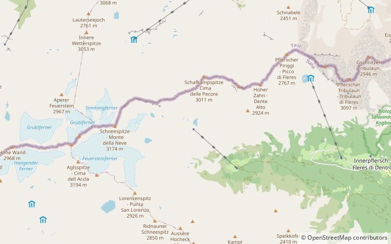
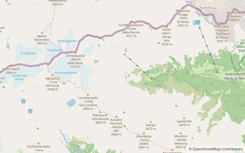
The back and forward lakes Stubensee are located 2,423 m above sea level in the back part of the Pflersch valley, which is a left side valley of the Eisacktal. Similar to the Grünsee, one has to go by car until Ochsenalm and then travel northwards high up route 6 until the lakes are reached after about four kilometers. At the forward lake, there is a snack station called Magdeburger Hütte, which is named after the city in Germany. ()
Average depth: 10 ftElevation: 7874 ft a.s.l.Coordinates: 46°58'30"N, 11°17'6"E
Location
Trentino-South Tyrol
ContactAdd
Social media
Add
Day trips
Stubensee – popular in the area (distance from the attraction)
Nearby attractions include: Weißwandspitze, Agglsspitze, Feuerstein, Tribulaun.


