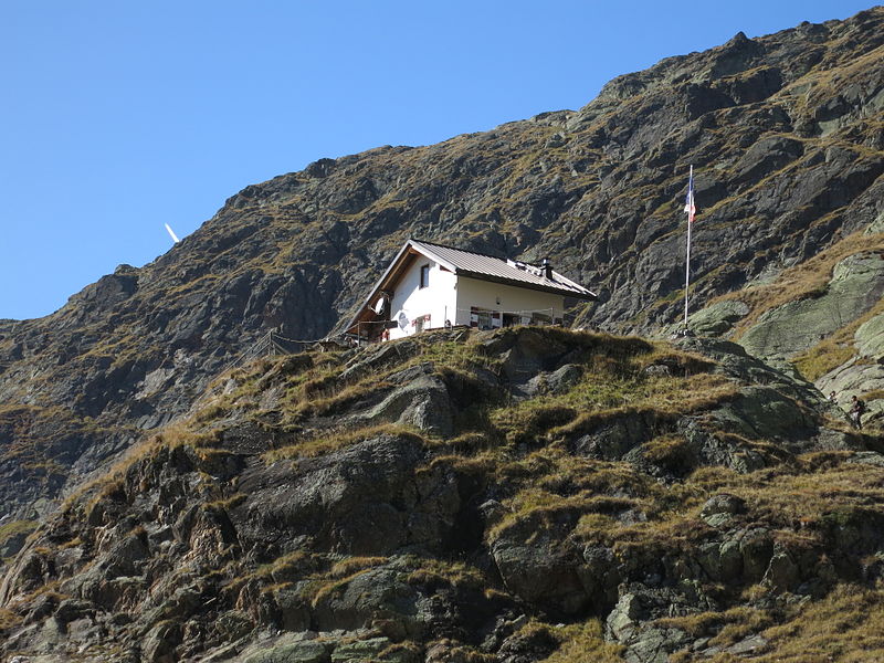
Grohmannhütte - Rifugio Vedretta Piana

Gallery (2)
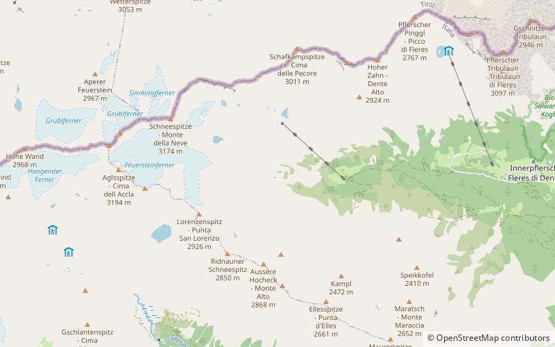
Map
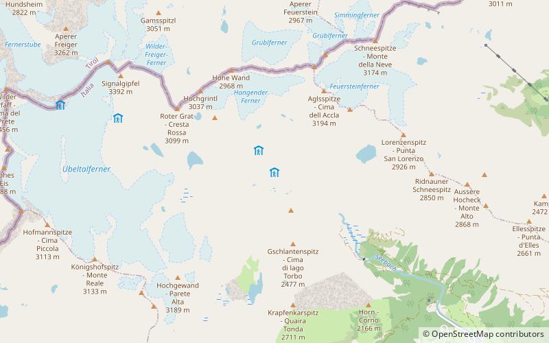
Map
Gallery
Facts and practical information
Grohmannhütte - Rifugio Vedretta Piana is a place located in Italy and belongs to the category of alpine hut, hiking.
It is situated at an altitude of 7398 feet, and its geographical coordinates are 46°57'6"N latitude and 11°13'53"E longitude.
Among other places and attractions worth visiting in the area are: Teplitzerhütte - Rifugio Vedretta Pendente (alpine hut, 9 min walk), Agglsspitze (nature, 29 min walk), Feuerstein (nature, 39 min walk).
Coordinates: 46°57'6"N, 11°13'53"E
Location
Trentino-South Tyrol
ContactAdd
Social media
Add
Day trips