Feuerstein

Gallery (1)
Map
Map
Facts and practical information
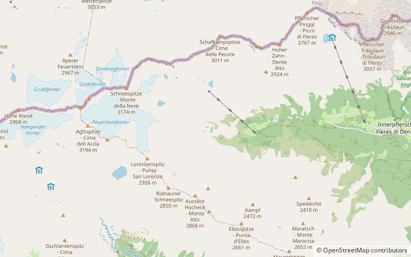
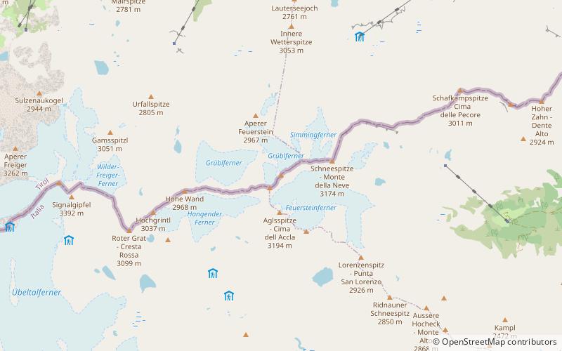
The Feuerstein is a twin peak in the Stubai Alps on the border of Tyrol and South Tyrol. ()
Alternative names: First ascent: 1855Elevation: 10722 ftProminence: 1447 ftCoordinates: 46°58'18"N, 11°14'39"E
Location
Trentino-South Tyrol
ContactAdd
Social media
Add
Day trips