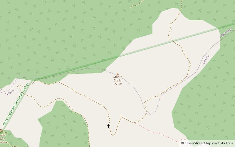
Monte Stella
Map

Map

Facts and practical information
Mount Stella is the highest point in the administrative territory of the municipality of Salerno, at 953 m asl. It is part of the Campanian Apennines and is located in the Picentini Mountains Regional Park.
It is of widespread belief, because of its shape, that Mount Stella is an ancient volcano now extinct, but in reality it is a relief of carbonate nature that has nothing to do with phenomena related to volcanism.
Coordinates: 40°43'24"N, 14°48'30"E
Location
Campania
ContactAdd
Social media
Add
Day trips
Monte Stella – popular in the area (distance from the attraction)
Nearby attractions include: Salerno Cathedral, Castello di Arechi, Acquedotto medievale di Salerno, Chiesa di San Pietro in Vinculis.


