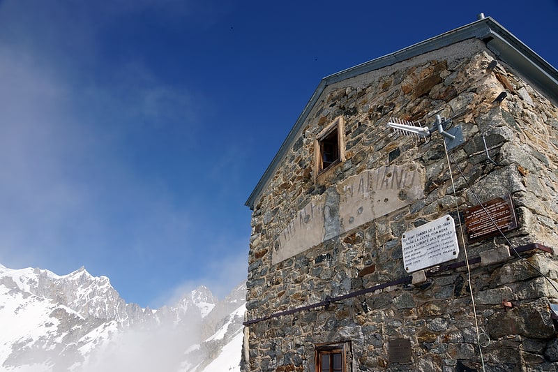
Rifugio Giorgio Bertone vecchio, Courmayeur

Gallery (1)
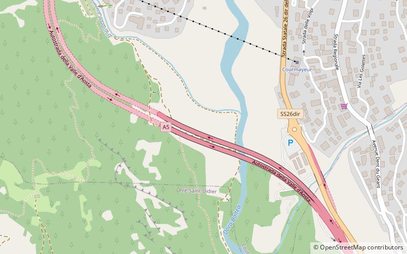
Map
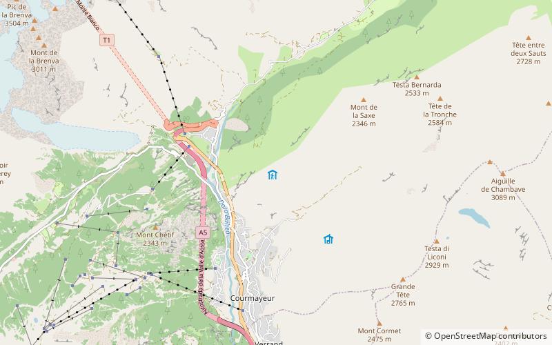
Map
Facts and practical information
The Giorgio Bertone refuge is located in the Aosta Valley in the Pennine Alps in the municipality of Courmayeur.
Address
Courmayeur
ContactAdd
Social media
Add
Day trips