Grande Rochère
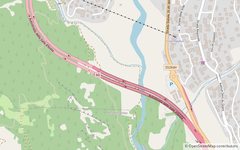
Map
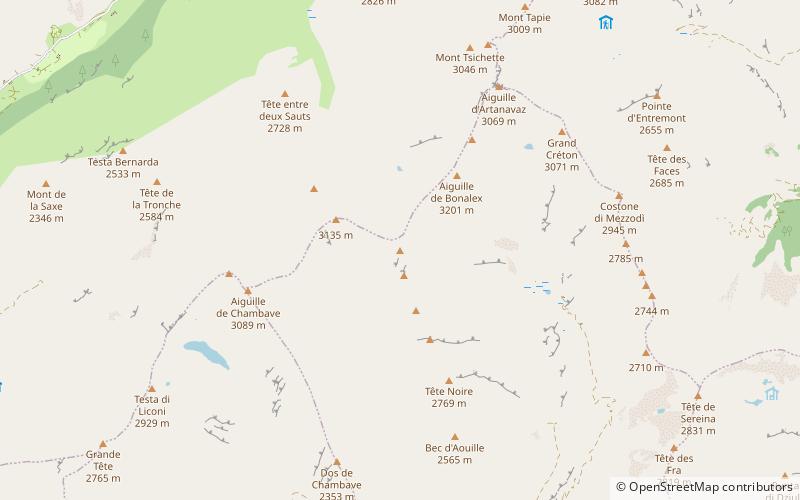
Map

Facts and practical information
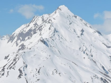
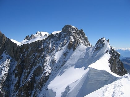
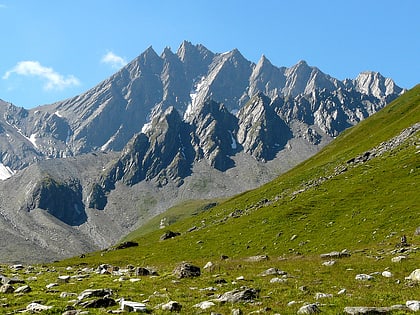
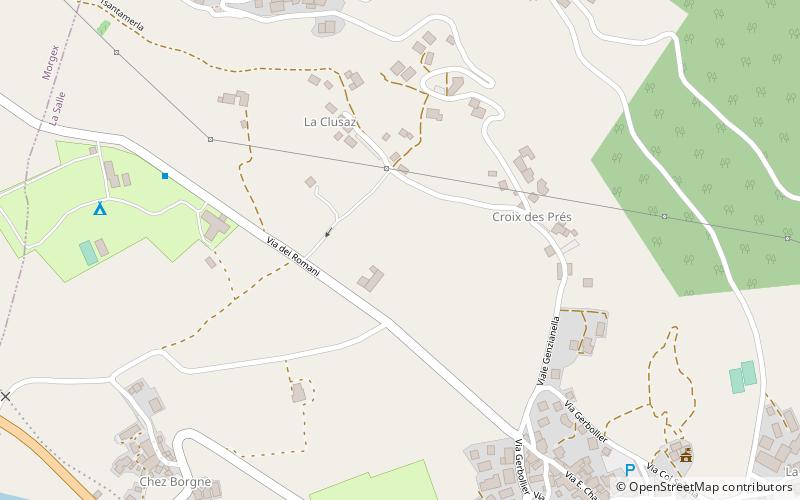
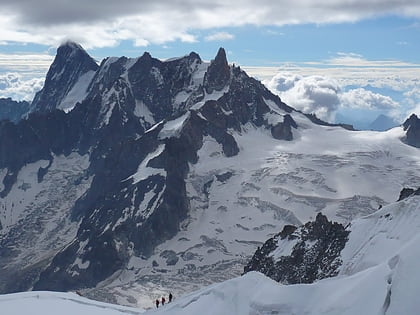
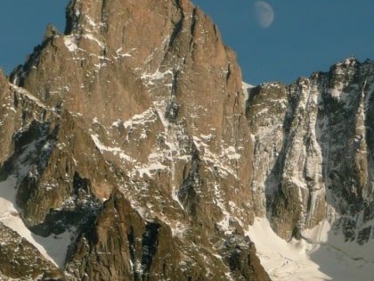
The Grande Rochère is a mountain of the Italian Pennine Alps, located north of Morgex in the Aosta Valley. Reaching a height of 3,326 metres above sea level, it is the culminating point of the group lying between the Col Ferret and the Great St. Bernard Pass. ()
Location
Aosta Valley
ContactAdd
Social media
Add
Day trips
Grande Rochère – popular in the area (distance from the attraction)
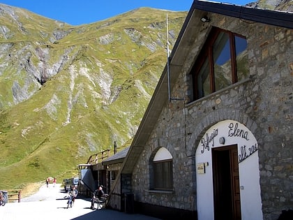
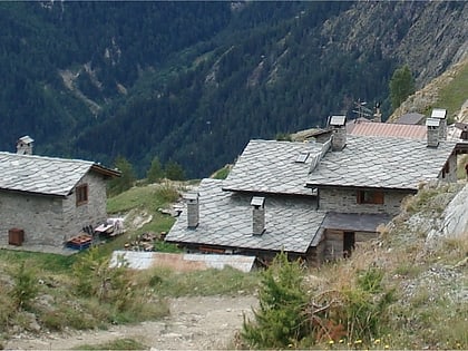
Nearby attractions include: Refuge Elena, Tour du Mont Blanc, Rifugio Giorgio Bertone vecchio, Aiguille de Rochefort.
