Castello di Monterone, Perugia
Map
Map

Facts and practical information
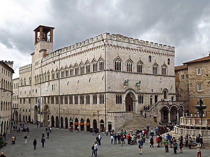
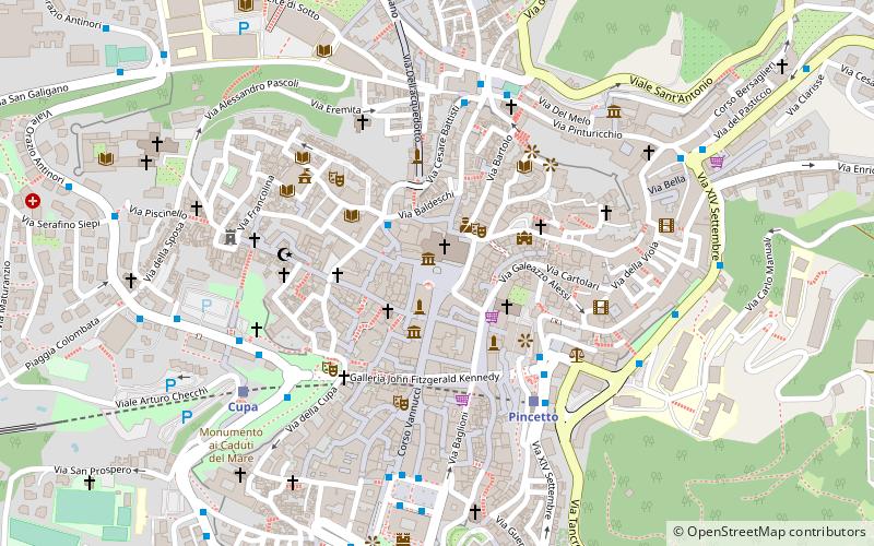
Castello di Monterone, known also as Castello Piceller, is a small restored 13th-century castle in Perugia, Italy. It is located in the road that connects Perugia to Assisi, through Ponte San Giovanni. Very close to the Monastery of San Pietro and to the Church of San Bevignate, this street is one of the "royal roads", that led out of the town through the main gates of Perugia, along a road network already used by the Etruscans and Romans. ()
Address
Perugia
ContactAdd
Social media
Add
Day trips
Castello di Monterone – popular in the area (distance from the attraction)
Nearby attractions include: Palazzo dei Priori, Galleria Nazionale dell'Umbria, Fontana Maggiore, Palazzo della Provincia e della Prefettura.
Frequently Asked Questions (FAQ)
Which popular attractions are close to Castello di Monterone?
Nearby attractions include Fontana Maggiore, Perugia (1 min walk), Museo del Capitolo della cattedrale di San Lorenzo, Perugia (1 min walk), Galleria Nazionale dell'Umbria, Perugia (1 min walk), Palazzo dei Priori, Perugia (1 min walk).
How to get to Castello di Monterone by public transport?
The nearest stations to Castello di Monterone:
Bus
Train
Bus
- Piazza Cavallotti • Lines: C (2 min walk)
- P.za Fortebraccio • Lines: C, C2, F (5 min walk)
Train
- Pincetto (5 min walk)
- Cupa (6 min walk)

