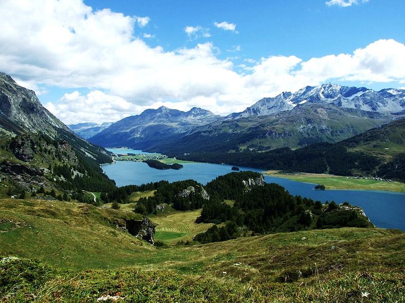
Eastern Alps
Map

Gallery

Facts and practical information
Eastern Alps is the name given to the eastern half of the Alps, usually defined as the area east of a line from Lake Constance and the Alpine Rhine valley up to the Splügen Pass at the Alpine divide and down the Liro River to Lake Como in the south. The peaks and mountain passes are lower than the Western Alps, while the range itself is broader and less arched. ()
Local name: Alpi Orientali Area: 50193.19 mi²Maximum elevation: 13284 ftElevation: 13284 ftCoordinates: 47°0'0"N, 12°0'0"E
Location
Trentino-South Tyrol
ContactAdd
Social media
Add
Day trips
Eastern Alps – popular in the area (distance from the attraction)
Nearby attractions include: Großer Löffler, Napfspitze, Durreck, Großer Moosstock.


