Spiaggia della Pillirina, Syracuse

Gallery (1)
Map
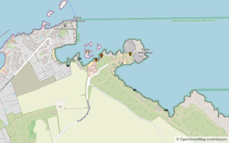
Map
Facts and practical information
Spiaggia della Pillirina is a place located in Syracuse (Sicily autonomous region) and belongs to the category of beach.
It is situated at an altitude of 30 feet, and its geographical coordinates are 37°2'23"N latitude and 15°18'23"E longitude.
Planning a visit to this place, one can easily and conveniently get there by public transportation. Spiaggia della Pillirina is a short distance from the following public transport stations: Isola (bus, 16 min walk).
Among other places and attractions worth visiting in the area are: Castello Maniace (museum, 29 min walk), Vicolo Plemmirio (square, 33 min walk), Porto Grande (sailing, 34 min walk).
Coordinates: 37°2'23"N, 15°18'23"E
Address
Syracuse
ContactAdd
Social media
Add
Getting there by public transportation
Public transportation stops near this location
- Bus
 Bus
Bus
- Calculate routeIsola 16 min walk
- Calculate routeMallia 1 19 min walk
- Calculate routeMallia 2 20 min walk
- Calculate routeLa Maddalena 3 22 min walk
Day trips


Frequently Asked Questions (FAQ)
How to get to Spiaggia della Pillirina by public transport?
The nearest stations to Spiaggia della Pillirina:
Bus
Bus
- Isola • Lines: 23 (16 min walk)
- Mallia 1 • Lines: 23 (19 min walk)