Rifugio Portia
#6100 among destinations in Italy


Facts and practical information
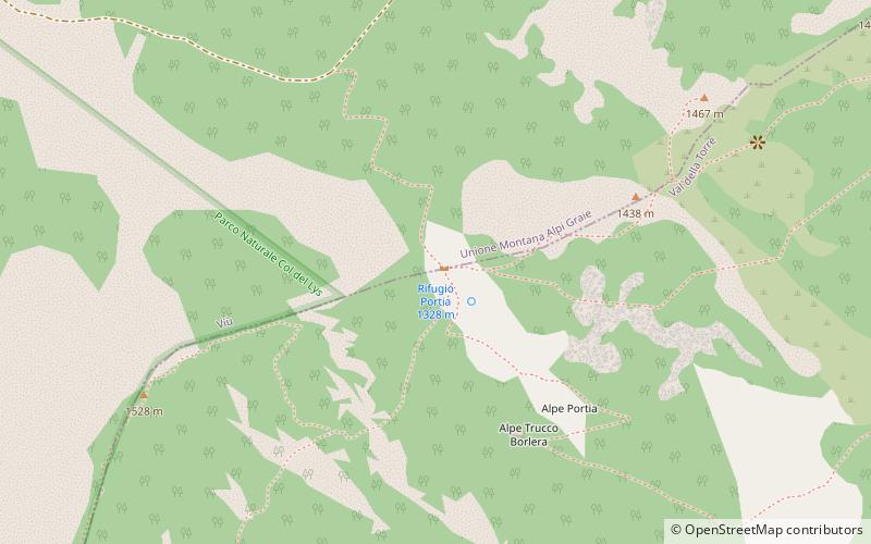
The Portia refuge is located at the Portia pass, a short distance from the Lys pass. It is located on the border between the municipalities of Viù and Val della Torre, both of which are in the Metropolitan City of Turin.
PiedmontItaly
Rifugio Portia – popular in the area (distance from the attraction)
Nearby attractions include: Monte Musinè, Germagnano, Monte Lera, Ponte del Diavolo.
5.5 miSE
Nature, Natural attraction, MountainMonte Musinè
142 min walk • Monte Musinè is an enigmatic mountain located in the Susa Valley near Turin, in the Piedmont region of Italy. Rising to an altitude of 1,150 meters, this mountain is not the tallest peak in the area, but it has captured the attention and imagination of hikers, history...
6 miNE
AreaGermagnano, Lanzo Torinese
154 min walk • Germagnano is a comune in the Metropolitan City of Turin in the Italian region Piedmont, located about 30 kilometres northwest of Turin in the Valli di Lanzo. It has a station on the Turin-Ceres railway.
2.3 miE
Nature, Natural attraction, MountainMonte Lera
60 min walk • Monte Lera is a mountain in the Alpi di Lanzo, a sub-group of the Graian Alps, with an elevation of 1,368 m. It is located between the Val Casternone and the Ceronda valley in the communes of Val della Torre, Varisella and Givoletto.
6.6 miNE
Outdoor activities, BridgePonte del Diavolo, Lanzo Torinese
168 min walk • The Devil's Bridge or Ròch Bridge was built in 1378 for the purpose of connecting Lanzo Torinese and its valleys with Turin.
4.8 miW
ChurchSantuario della Madonna degli Angeli
123 min walk • The Colombardo or Collombardo Pass is an Alpine pass in the Graian Alps located in the Province of Turin and connecting the lower Susa Valley with the Viù Valley, more specifically the municipalities of Condove and Lemie.
4.9 miS
Forts and castlesCastello di Villar Dora, Almese
126 min walk • Villar Dora Castle is a medieval feudal residence, among the best preserved in the Susa Valley, located on a small rocky hill in the center of the village.
1 miNW
Nature, Natural attraction, MountainMonte Colombano
26 min walk • Monte Colombano is a mountain in the Alpi di Lanzo, a sub-group of the Graian Alps, with an elevation of 1,658 m.
6.6 miSW
City wallRuderi del Castello del Conte Verde, Caprie
169 min walk • The so-called Conte Verde Castle is a military building-now reduced to ruins-located in the province of Turin, on a small rise between Caprie and Condove, in the lower Susa Valley, between the Pirchiriano and Caprasio mountains.
4 miS
LocalityRubiana
101 min walk • Rubiana is a comune in the Metropolitan City of Turin in the Italian region Piedmont, located about 25 kilometres northwest of Turin. The municipality of Rubiana contains the frazioni Mompellato and Favella. Rubiana borders the following municipalities: Viù, Condove, Val della Torre, Caprie, Villar Dora, and Almese.
1.5 miSW
Ski area, Park, Outdoor activitiesColle del Lys, Viù
38 min walk • The Lis Pass is an Alpine pass in the Graian Alps located in the metropolitan city of Turin and connecting the lower Susa Valley with the Viù Valley, more specifically the municipalities of Rubiana and Viù.
6.6 miSE
LocalityCaselette
168 min walk • Caselette is a town and comune in the Metropolitan City of Turin, in the Piedmont region of northern Italy. It is located at the entrance of the Val di Susa, 18 kilometres from Turin, at the foot of Monte Musinè.
