Ofenhorn
#336 among destinations in Italy
![Ofenhorn location map](https://tzmedia.b-cdn.net/media/images/static-maps/it/46_3864_8_31864.jpg)
Facts and practical information
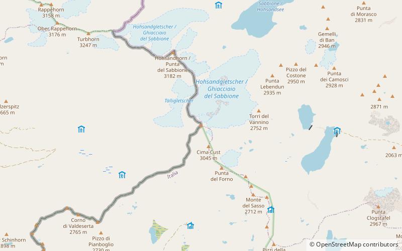
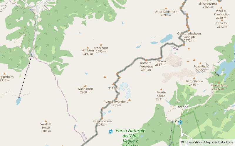
PiedmontItaly
Ofenhorn – popular in the area (distance from the attraction)
Nearby attractions include: Cascata del Toce, Scherbadung, Grieshorn, Schwarzhorn.
4.7 miENatural attraction, Waterfall, ParkCascata del Toce
121 min walk • Nestled in the picturesque Italian Alps, the Cascata del Toce is a breathtaking natural wonder that captures the essence of unspoiled beauty. Towering at an impressive height of 143 meters, it is one of the highest waterfalls in Europe and a jewel of the Piedmont...
6.3 miSWNature, Natural attraction, MountainScherbadung
160 min walk • The Scherbadung is a mountain of the Lepontine Alps on the Swiss-Italian border. Its Italian name has been used to name the mineral cervandonite which has only been found there.
5.7 miNENature, Natural attraction, MountainGrieshorn
146 min walk • The Grieshorn is a mountain of the Lepontine Alps, located on the Swiss-Italian border. With an altitude of 2,969 metres above sea level, it is the culminating point of the group lying between the Gries Pass, the San Giacomo Pass and the Nufenen Pass.
5.8 miSWNature, Natural attraction, MountainSchwarzhorn
147 min walk • The Schwarzhorn is a mountain of the Lepontine Alps, located on the Swiss-Italian border, between the Binntal and the Valle Dèvero. It lies north of the Scherbadung. The area is renowned for its unique minerals that are found here in a dolomitic host rock. Elements found are typically As, Fe, Pb, Sb.
5.6 miNENature, Natural attraction, MountainKlein Grieshorn
143 min walk • The Klein Grieshorn is a mountain of the Lepontine Alps, located on the Swiss-Italian border. The summit is the tripoint between the cantons of Valais, Ticino and the region of Piedmont.
1.3 miNNature, Natural attraction, MountainHohsandhorn
33 min walk • The Hohsandhorn is a mountain of the Lepontine Alps on the Swiss-Italian border.
6.2 miNEAlpine hut, Hiking, MountainRifugio Maria Luisa
158 min walk • Maria Luisa Refuge is an alpine refuge located in the upper Formazza Valley in the province of Verbano-Cusio-Ossola, at 2157 m above sea level.
3.6 miEAlpine hut, HikingRifugio Miryam
93 min walk • The Miryam hut is an alpine hut located in the Vannino valley, a side valley of the upper Formazza valley in the province of Verbano-Cusio-Ossola, at 2,050 m a.s.l. Administratively it belongs to the territory of the municipality of Formazza, from...
2.2 miEAlpine hut, HikingRifugio Eugenio Margaroli
57 min walk • The Eugenio Margaroli refuge is an alpine refuge located on the shores of Lake Vannino, in the alp of the same name, in the municipality of Formazza, at 2,194 m above sea level.
3.9 miNEAlpine hut, HikingRifugio Città di Busto 2482 m
100 min walk • The Città di Busto refuge is an alpine refuge in the upper Formazza Valley, in the province of Verbano-Cusio-Ossola, at 2,480 m above sea level.
2 miNAlpine hut, HikingRifugio Claudio e Bruno
51 min walk • The Claudio and Bruno Refuge is an alpine hut located at 2,710 m above sea level above Lake Sabbione in the upper Formazza Valley in the province of Verbano-Cusio-Ossola.