Payerhütte, Stelvio National Park

Gallery (1)
Map
Map
Facts and practical information
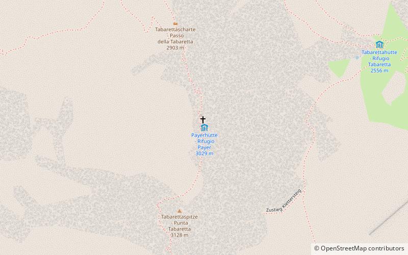
Payer Hütte, or Julius Payer Hütte - located at an altitude of 3029 m a.s.l. Mountain shelter on the northern boundary of the orthler called Tabarettagrat in the Reticki Alps. This shelter is the starting point for the normal entrance path to Ortler - the highest peak of Tyrol.
Day trips