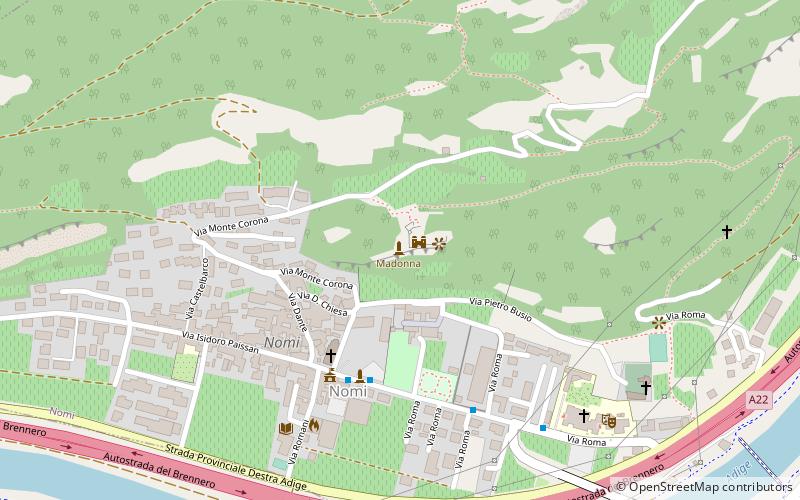
Madonna, Nomi

Gallery (1)
Map
Map
Facts and practical information
Madonna is a place located in Nomi (Trentino-South Tyrol autonomous region) and belongs to the category of memorial.
It is situated at an altitude of 791 feet, and its geographical coordinates are 45°55'51"N latitude and 11°4'23"E longitude.
Among other places and attractions worth visiting in the area are: Castel Barco (ruins, 19 min walk), Volano (locality, 29 min walk), Castel Pietra, Calliano (forts and castles, 30 min walk).
Coordinates: 45°55'51"N, 11°4'23"E
Address
Nomi
ContactAdd
Social media
Add
Day trips


