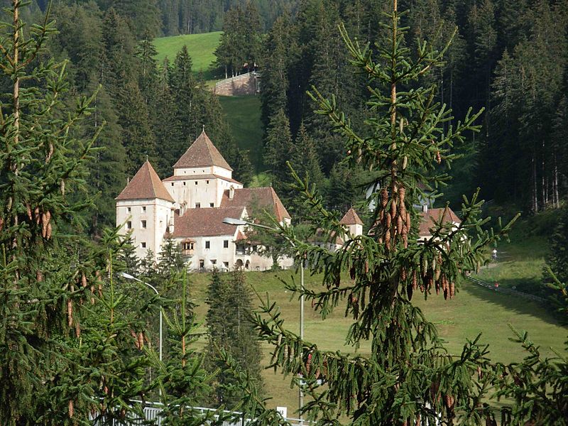
Fischburg

Gallery (2)
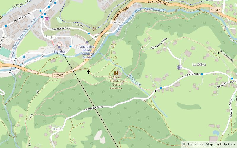
Map
Map
Gallery
Facts and practical information
Castel Gardena, is a castle located at the foot of the Sassolungo mountain range between the municipalities of Selva and Santa Cristina Valgardena, South Tyrol.
Location
Trentino-South Tyrol
ContactAdd
Social media
Add
Day trips


