Santa Maria Assunta Church
#1083 among destinations in Italy
![Santa Maria Assunta Church location map](https://tzmedia.b-cdn.net/media/images/static-maps/it/44_2119_10_309.jpg)
Facts and practical information
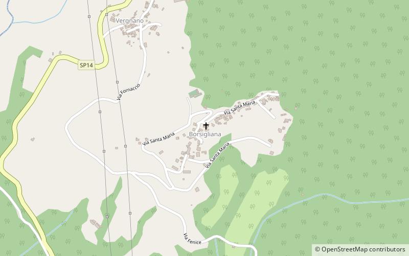
Santa Maria Assunta is a 12th-century Roman Catholic church building in the frazione of Borsigliana in the town limits of Piazza al Serchio, province of Lucca, region of Tuscany, Italy. ()
TuscanyItaly
Santa Maria Assunta Church plan & book
Unleash the traveler in you — discover the cheapest flight deals, find the perfect hotel or hostel nearby, and search for the best car rental prices. Travel at your own pace to discover new places and enjoy your journey.
Santa Maria Assunta Church – popular in the area (distance from the attraction)
Nearby attractions include: Lago di Gramolazzo, Verrucole Castle, Monte Prado, Monte Pisanino.
4.3 miSWNature, Natural attraction, LakeLago di Gramolazzo, Minucciano
111 min walk • Lago di Gramolazzo is a lake in the Province of Lucca, Tuscany, Italy. At an elevation of 604 m, its surface area is 1 km².
2.6 miSEForts and castles, Historical placeVerrucole Castle
66 min walk • Perched atop a hill in the serene Garfagnana region of Tuscany, Italy, the Verrucole Castle is a testament to medieval military architecture. This formidable fortress, whose origins date back to the 11th century, offers a glimpse into the past with its well-preserved...
5.5 miNENature, Natural attraction, MountainMonte Prado
141 min walk • Monte Prado is a mountain in the northern Apennines, located in the trait between the Pradarena and Radici Passes, with an altitude of 2,054 metres.
7.1 miSWNature, Natural attraction, MountainMonte Pisanino
183 min walk • Monte Pisanino is the highest peak in the Alpi Apuane, in Tuscany, central Italy. Located in the comune of Minucciano, it is also the highest mountain entirely belonging to the Tuscany region.
4 miSEBotanical gardenGiardino Montano dell' Orecchiella
102 min walk • The Giardino Montano dell' Orecchiella is a garden with many ornamental exotic and, to a much lesser extent, native flowers located just below the visitor centre of the Parco dell'Orecchiella.
3.9 miSChurchChiesa di San Jacopo, Camporgiano
100 min walk • The church of San Iacopo or Giacomo is a sacred building located in Camporgiano.
3 miSEBotanical gardenOrto Botanico "Pania di Corfino"
76 min walk • The Giardino Botanico "Maria Ansaldi" Pania di Corfino is a botanical garden located an altitude of 1370 m in the Appennino Tosco-Emiliano National Park, near the visitor center of Orecchiella Natural Park in Isera, Corfino, Villa Collemandina, Province of Lucca, Tuscany, Italy.
6.6 miSETownCastiglione di Garfagnana
170 min walk • Castiglione di Garfagnana is a medieval walled town and comune of 1,878 inhabitants in the province of Lucca. It sits on a hillside above the river Esarulo, a tributary of the Serchio.
6 miNWNature, Natural attraction, MountainMonte La Nuda, Appennino Tosco-Emiliano National Park
152 min walk • Mount La Nuda is a peak in the Reggio Emilia Apennines 1,893 meters above sea level.
1.3 miNLocalitySillano
33 min walk • Sillano is a frazione of the comune of Sillano Giuncugnano in the Province of Lucca in the Italian region Tuscany, located about 90 kilometres northwest of Florence and about 45 kilometres northwest of Lucca.
2 miSLocalityPiazza al Serchio
51 min walk • Piazza al Serchio is a comune in the Province of Lucca in the Italian region Tuscany, located about 90 kilometres northwest of Florence and about 40 kilometres northwest of Lucca.