Monte Pisanino

Gallery (1)
Map
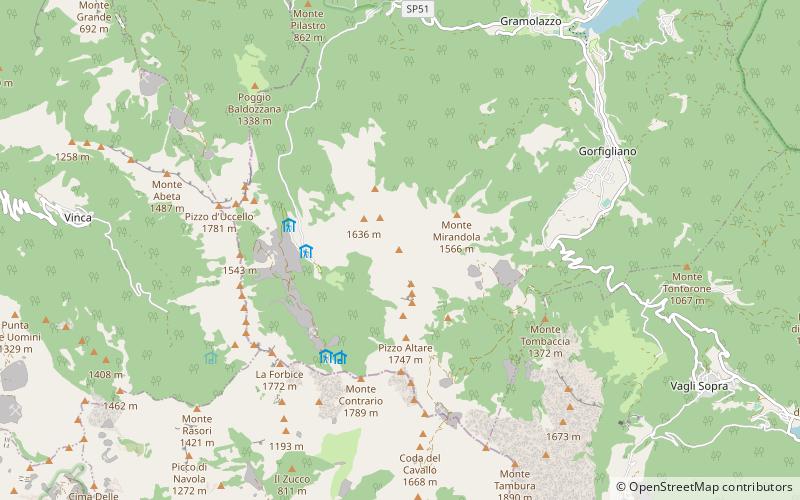
Map
Facts and practical information
Monte Pisanino is the highest peak in the Alpi Apuane, in Tuscany, central Italy. Located in the comune of Minucciano, it is also the highest mountain entirely belonging to the Tuscany region. ()
Location
Tuscany
ContactAdd
Social media
Add
Day trips