Hillehorn
Map

Map

Facts and practical information
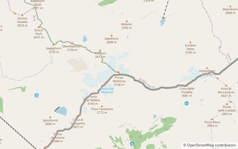
The Hillehorn is a mountain of the Lepontine Alps, located between the Gantertal and the Binntal in the canton of Valais, close to the border with Italy. The main summit has an elevation of 3,181 meters, while the Italian border culminates on the secondary summit named Punta Mottiscia at 3,158 meters. Between the two peaks is the Hillejoch. ()
Local name: Punta di Mottiscia Elevation: 10436 ftProminence: 843 ftCoordinates: 46°18'8"N, 8°8'27"E
Location
Piedmont
ContactAdd
Social media
Add
Day trips
Hillehorn – popular in the area (distance from the attraction)
Nearby attractions include: Monte Cistella, Monte Leone, Scherbadung, Pizzo Diei.


