Monte Leone
Map

Map

Facts and practical information
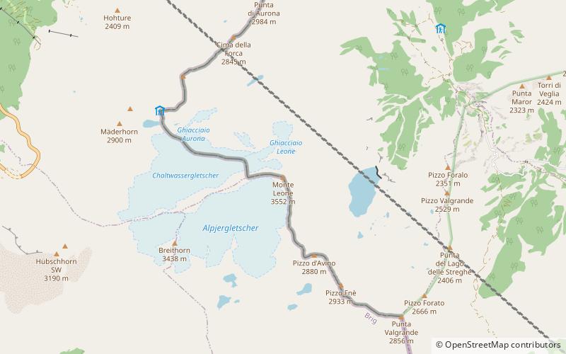
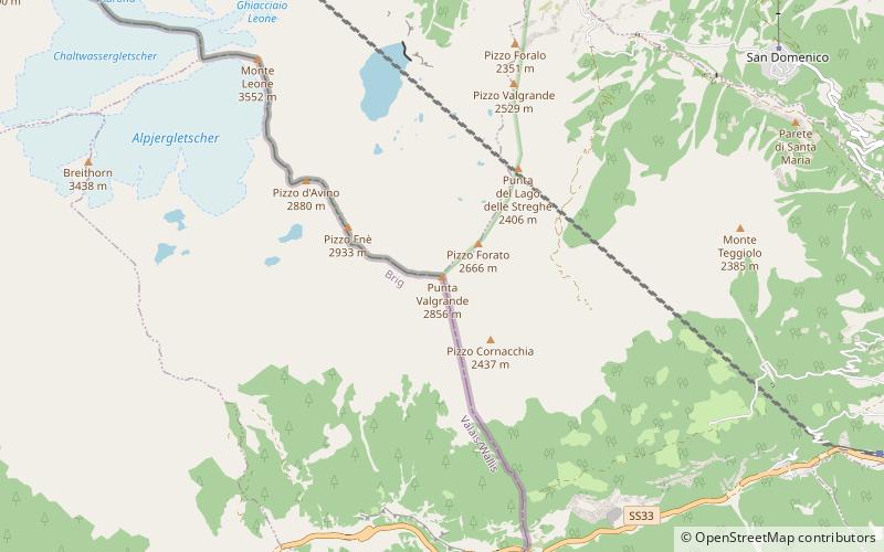
Monte Leone is the highest mountain of the Lepontine Alps and is located on the border between Switzerland and Italy. The mountain stands on the extreme west of the Lepontine Alps, a few kilometres east of Simplon Pass. ()
Alternative names: First ascent: 1859Elevation: 11657 ftProminence: 3753 ftCoordinates: 46°14'58"N, 8°6'37"E
Location
Piedmont
ContactAdd
Social media
Add
Day trips
Monte Leone – popular in the area (distance from the attraction)
Nearby attractions include: Scherbadung, Hillehorn, Punta Valgrande, Camoscellahorn.


