Gay Street, Rome
Map
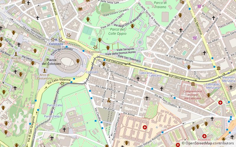
Map

Facts and practical information
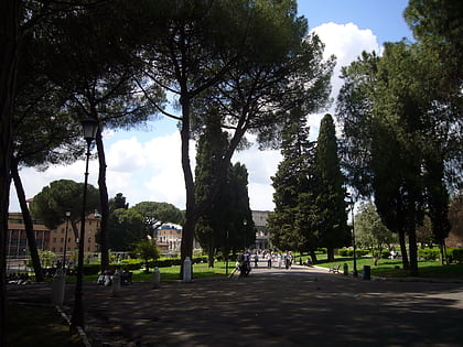
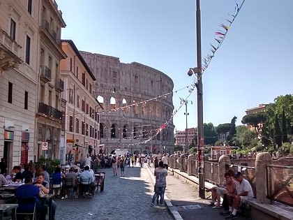
The Gay Street is an area in Rome, Italy designated as a gay- and lesbian-friendly neighborhood. A 300-metre shopping and bar area in the center of the city on Via San Giovanni in Laterano, a street leading to the east flank of the Colosseum, it was formally designated in 2007. The opening ceremonies, led by the Italian LGBT organization Arcigay, were attended by celebrities and national and municipal politicians. ()
Address
CelioRome
ContactAdd
Social media
Add
Day trips
Gay Street – popular in the area (distance from the attraction)
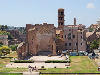
Nearby attractions include: Colosseum, Arch of Constantine, San Pietro in Vincoli, Temple of Venus and Roma.
Frequently Asked Questions (FAQ)
Which popular attractions are close to Gay Street?
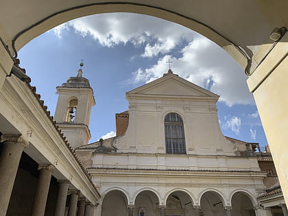
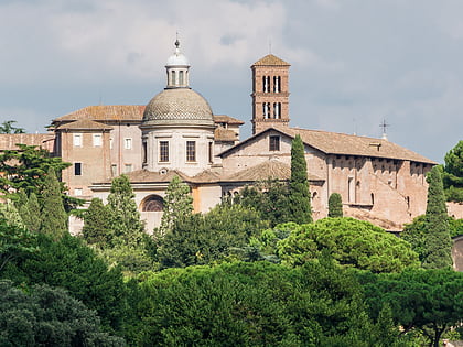
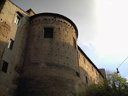
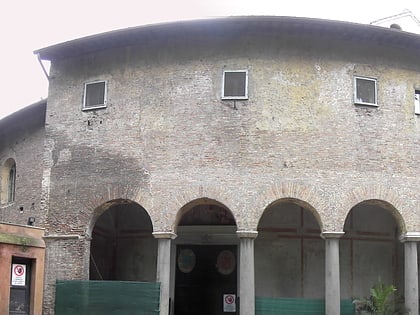
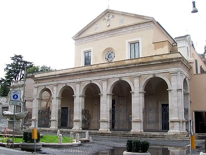
Nearby attractions include San Clemente, Rome (3 min walk), Parco del Colle Oppio, Rome (4 min walk), Santi Quattro Coronati, Rome (4 min walk), Porta Querquetulana, Rome (5 min walk).
How to get to Gay Street by public transport?
The nearest stations to Gay Street:
Bus
Tram
Metro
Light rail
Train
Ferry
Trolleybus
Bus
- Labicana/Colosseo • Lines: 117, 51, 85, 87, n11 (2 min walk)
- Labicana • Lines: 51, 75, 85, 87, C3, n10, n11 (4 min walk)
Tram
- Colosseo • Lines: 3, 8 (3 min walk)
- Labicana • Lines: 3, 8 (4 min walk)
Metro
- Colosseo • Lines: B (7 min walk)
- Cavour • Lines: B (10 min walk)
Light rail
- Termini Laziali • Lines: Fc1 (19 min walk)
- Roma Termini • Lines: Fl6, Fl7 (22 min walk)
Train
- Roma Termini (22 min walk)
Ferry
- Isola Tiberina • Lines: Battelli di Roma (27 min walk)
- Ponte Cavour (39 min walk)
Trolleybus
- Volturno/Cernaia • Lines: 90 (28 min walk)
- XX Settembre/Min. Finanze • Lines: 90 (29 min walk)
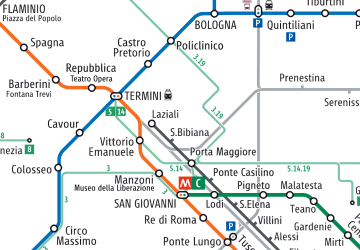 Metro / Tram / Rail


