Monte Tambura
Map

Map

Facts and practical information
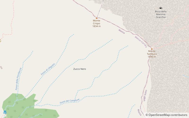
Monte Tambura is a mountain in the Alpi Apuane, in Tuscany, central Italy. It is the second highest peak in the chain after Monte Pisanino. Located on the boundary between the province of Lucca and the province of Massa-Carrara, the Tambura is part of the Natural Regional Park of the Alpi Apuane. ()
Location
Tuscany
ContactAdd
Social media
Add
Day trips
Monte Tambura – popular in the area (distance from the attraction)
Nearby attractions include: Lago di Gramolazzo, Massa Cathedral, Lago di Vagli, Monte Pisanino.


