Refuge du Théodule
#2152 among destinations in Italy

Facts and practical information
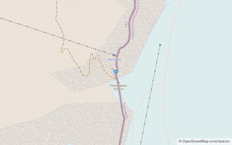
Refuge du Théodule is a refuge in the Pennine Alps located at the Theodulpass between the Mattertal and Valtournanche in the Aosta Valley, Italy. ()
Aosta ValleyItaly
Refuge du Théodule – popular in the area (distance from the attraction)
Nearby attractions include: Rif. Oriondé, Gobba di Rollin, Pic Tyndall, Roccia Nera.
 Hiking, Alpine hut, Vernacular architecture
Rif. Oriondé, Breuil-Cervinia
84 min walk • Refuge Duc des Abruzzes à l'Oriondé is a refuge located above Breuil-Cervinia in the Aosta Valley. The refuge lies on the south side of the Matterhorn, at a height of 2,802 metres. It is used for the ascent of the Italian normal route.
 Nature, Natural attraction, Mountain
Gobba di Rollin
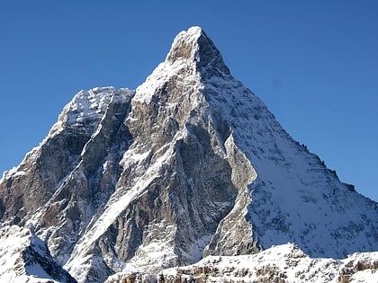
48 min walk • Gobba di Rollin is a majestic mountain peak that pierces the sky in the Italian Alps. This impressive natural landmark, part of the Pennine Alps range, is not just a visual spectacle but also a magnet for mountaineers and outdoor enthusiasts seeking the thrill of...
 Nature, Natural attraction, Mountain
Pic Tyndall, Breuil-Cervinia
86 min walk • Pic Tyndall is a minor summit below the Matterhorn in the Pennine Alps, on the boundary between Aosta Valley and Switzerland. Because of its small prominence it was included in the enlarged list of alpine four-thousanders.
 Nature, Natural attraction, Mountain
Roccia Nera
84 min walk • The Roccia Nera is a peak of the Breithorn range in the Pennine Alps, on the boundary between the Aosta Valley and canton of Valais. It is the easternmost summit of the Breithorn massif, located east of the Gendarm. It overlooks the Schwarztor pass on its east side.
 Nature, Natural attraction, Mountain
Central Breithorn
60 min walk • The Central Breithorn is a peak of the Breithorn range in the Pennine Alps, located on the border between Switzerland and Italy, between the canton of Valais and the region of Aosta Valley.
 Nature, Natural attraction, Mountain
Gendarm
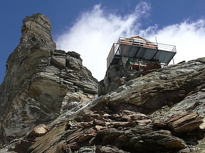
78 min walk • The Gendarm, but also known as eastern Breithorn Twin is a peak of the Pennine Alps, located on the border between Switzerland and Italy, between the canton of Valais and the region of Aosta Valley.
 Hiking, Alpine hut
Refuge Jean-Antoine Carrel, Breuil-Cervinia
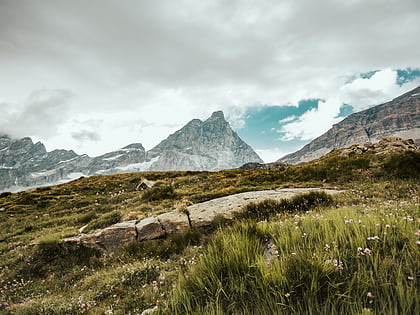
91 min walk • Refuge Jean-Antoine Carrel is a refuge in the Alps at an altitude of 3,830m in Aosta Valley, Italy. It is located on the south-west ridge of the Matterhorn, near the Swiss border. The mountain hut was named after Jean-Antoine Carrel who made the first ascent of the Matterhorn via the south-west ridge.
 Nature, Natural attraction, Mountain
Furggen, Breuil-Cervinia
41 min walk • The Furggen is a mountain of the Pennine Alps, located on the border between Italy and Switzerland. It is the culminating point of the ridge named Furgggrat stretching from the Furggjoch to the Theodul Pass, and is located halfway between the Matterhorn and Testa Grigia.
 Nature, Natural attraction, Mountain
Theodulhorn
10 min walk • The Theodulhorn is a mountain of the Pennine Alps, overlooking the Theodul Pass on the border between Switzerland and Italy. It lies south of Zermatt and east of Breuil-Cervinia. The northern side of the mountain is heavily glaciated and is part of a ski area.
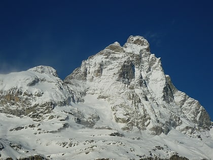 Nature, Natural attraction, Mountain
Testa del Leone, Breuil-Cervinia
93 min walk • The Testa del Leone is a mountain of the Pennine Alps, located on the border between Switzerland and Italy. It lies on the main Alpine watershed, west of the Matterhorn.
 Skiing area, refuge hut and stunning views
Theodul Pass
2 min walk • Theodul Pass, elevation 3,295 metres, is a high mountain pass across the eastern Pennine Alps, connecting Zermatt in the Swiss canton of Valais and Breuil-Cervinia in the Italian region of Aosta Valley.
