Speikboden

Gallery (1)
Map
Map
Facts and practical information
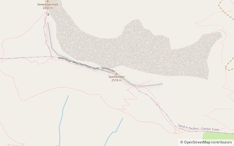
Speikboden is a massif in the Central Eastern Alps located between the three valleys Weißenbach, Mühlwald and Ahrntal. Running in a south-easterly direction, it forms the eastern part of an outlier of the western Zillertal Alps. Its highest point, likewise named Speikboden, is 2,517 m. Further well-known peaks in this massif include Seewassernock, Große Nock, Kleine Nock and Gornerberg. ()
Location
Trentino-South Tyrol
ContactAdd
Social media
Add
Day trips


