Tauferer Ahrntal, Sand in Taufers
Map

Map

Facts and practical information
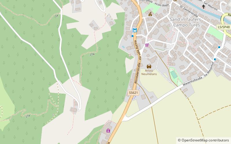
The Tauferer Ahrntal denotes the valley of the Ahr River, a tributary valley of the Puster Valley in South Tyrol, Italy. It is commonly divided into the Tauferer Tal, stretching from the confluence with the Rienz River near Bruneck up to Sand in Taufers, and the Ahrntal proper up to the source in Prettau. ()
Address
Sand in Taufers
ContactAdd
Social media
Add
Day trips
Tauferer Ahrntal – popular in the area (distance from the attraction)
Nearby attractions include: Speikboden, Durreck, Schwarze Wand, Großer Moosstock.
Frequently Asked Questions (FAQ)
Which popular attractions are close to Tauferer Ahrntal?
Nearby attractions include Ansitz Neumelans, Sand in Taufers (3 min walk), Burg Taufers, Sand in Taufers (12 min walk).


