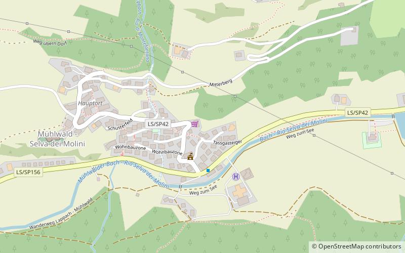
Mühlwald
Map
![Mühlwald location map](https://tzmedia.b-cdn.net/media/images/static-maps/it/46_8911_11_8628.jpg)
Map
![Mühlwald location map](https://tzmedia.b-cdn.net/media/images/static-maps/it/46_8911_11_8628.jpg)
Facts and practical information
Day trips
Mühlwald – popular in the area (distance from the attraction)
Nearby attractions include: Neves-Stausee, Hoher Weißzint, Speikboden, Tauferer Ahrntal.
#5004 among destinations in Italy
Unleash the traveler in you — discover the cheapest flight deals, find the perfect hotel or hostel nearby, and search for the best car rental prices. Travel at your own pace to discover new places and enjoy your journey.
Nearby attractions include: Neves-Stausee, Hoher Weißzint, Speikboden, Tauferer Ahrntal.
138 min walk • The Neves-Stausee is a reservoir in the Mühlwaldertal in South Tyrol, Italy. It belongs to the municipality of Mühlwald.
196 min walk • The Hoher Weißzint is a mountain in the Zillertal Alps on the border between Tyrol, Austria, and South Tyrol, Italy.
59 min walk • Speikboden is a massif in the Central Eastern Alps located between the three valleys Weißenbach, Mühlwald and Ahrntal. Running in a south-easterly direction, it forms the eastern part of an outlier of the western Zillertal Alps.
115 min walk • The Tauferer Ahrntal denotes the valley of the Ahr River, a tributary valley of the Puster Valley in South Tyrol, Italy. It is commonly divided into the Tauferer Tal, stretching from the confluence with the Rienz River near Bruneck up to Sand in Taufers, and the Ahrntal proper up to the source in Prettau.
118 min walk • History museum, Forts and castles
117 min walk • Castel Neumelans is a Renaissance residence located in Campo Tures, in South Tyrol.
127 min walk • Castel Schöneck, sometimes Italianized as "Scaunia Castle," is a castle located about 1058 meters above sea level near Issengo, a hamlet of the village of Falzes in Val Pusteria. It is considered the birthplace of the troubadour Oswald von...
125 min walk • Casanova Castle, better known as Neuhaus Castle, is a medieval castle located in the municipal area of Gais, at the beginning of the Ahrntal Valley in South Tyrol.
148 min walk • Visitors to Terenten will be captivated by the stunning landscapes that surround the village. The towering peaks of the Dolomites provide a dramatic backdrop for outdoor activities such as hiking, mountain biking, and rock climbing.
143 min walk • One of the main attractions in Pfalzen is the idyllic Lake Issing, which is surrounded by lush forests and offers a tranquil setting for swimming, fishing, and picnicking. Visitors can also explore the network of hiking and biking trails that crisscross the surrounding...
143 min walk • Gais is a comune in South Tyrol in northern Italy, located about 60 kilometres north-east of the city of Bolzano.
Where to next? Visit Trentino-South Tyrol region page or discover the top tourist attractions in Italy.