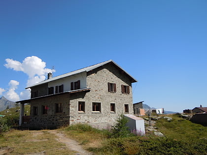
Becca di Luseney
Map
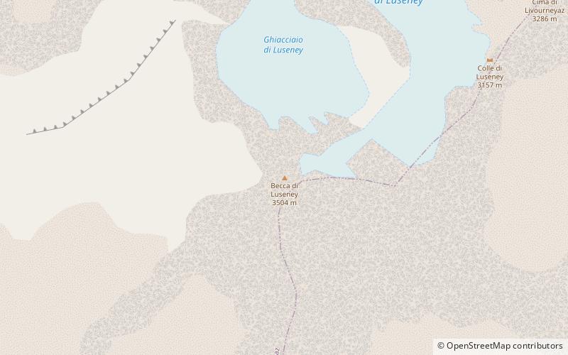
Map

Facts and practical information
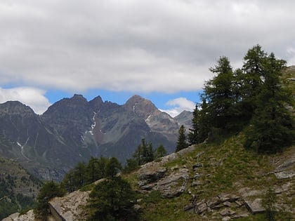
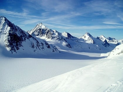
Becca di Luseney is a mountain of the Pennine Alps in Aosta Valley, northwest Italy. It has a pyramidal look on all four sides, and its north face is covered with a glacier. A huge rockfall from its southwest face came down in 1952, completely destroying the village of Chamen and other settlements in the Valpelline valley. The mountain was first climbed in 1866. ()
Alternative names: First ascent: 1866Elevation: 11496 ftProminence: 2119 ftCoordinates: 45°52'14"N, 7°29'27"E
Location
Aosta Valley
ContactAdd
Social media
Add
Day trips
Becca di Luseney – popular in the area (distance from the attraction)
Nearby attractions include: Refuge Prarayer, Refuge Nacamuli au col Collon, Refuge Crête Sèche, Rifugio Oratorio di Cuney.
