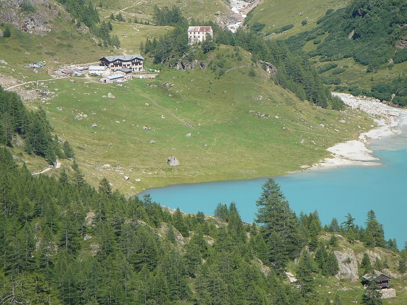
Refuge Nacamuli au col Collon, Bionaz

Gallery (1)
Map
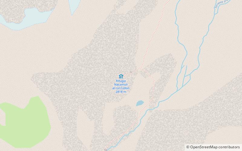
Map
Facts and practical information
Refuge Nacamuli au col Collon is a refuge in the Alps in Aosta Valley, Italy. ()
Address
Bionaz
ContactAdd
Social media
Add
Day trips
Refuge Nacamuli au col Collon is a refuge in the Alps in Aosta Valley, Italy. ()
Bionaz
Where to next? Visit ![]() Aosta Valley region page or discover the top tourist attractions in Italy.
Aosta Valley region page or discover the top tourist attractions in Italy.