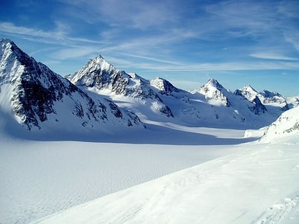
Aouille Tseuque
#1898 among destinations in Italy

Facts and practical information
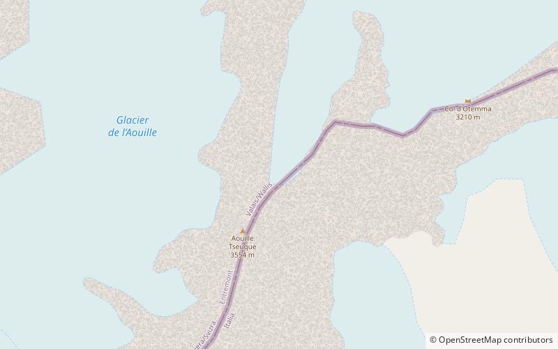
Aouille Tseuque is a mountain of the Pennine Alps on the Swiss-Italian border. On its northern side it overlooks the Otemma Glacier. ()
Aosta ValleyItaly
Aouille Tseuque – popular in the area (distance from the attraction)
Nearby attractions include: Refuge Prarayer, Refuge Nacamuli au col Collon, Refuge Crête Sèche, Mont Gelé.
 Hiking, Mountain hut, Alpine hut
Refuge Prarayer, Bionaz
112 min walk • Refuge Prarayer is a refuge in the Alps in Aosta Valley, Italy, at an altitude of 2005 metres.
 Hiking, Alpine hut
Refuge Nacamuli au col Collon, Bionaz
78 min walk • Refuge Nacamuli au col Collon is a refuge in the Alps in Aosta Valley, Italy.
 Hiking, Alpine hut
Refuge Crête Sèche
101 min walk • Nestled in the heart of the Italian Alps, the Refuge Crête Sèche is a haven for mountaineers and hikers seeking solace amid the rugged beauty of the mountains. This alpine hut, perched at an elevation of 2,411 meters, serves as an essential stopover for adventurers...
 Nature, Natural attraction, Mountain
Mont Gelé
106 min walk • Mont Gelé is a mountain of the Pennine Alps, located on the border between Switzerland and Italy. It lies between the valleys of Bagnes and Valpelline, on the main Alpine watershed. It overlooks the Fenêtre de Durand from the east side.
 Nature, Natural attraction, Mountain
Mont Avril
124 min walk • Mont Avril is a mountain of the Pennine Alps, located on the Swiss-Italian border. Its summit has an elevation of 3,347 metres above sea level and can be reached by a trail from the Fenêtre de Durand.
 Nature, Natural attraction, Mountain
Becca di Luseney
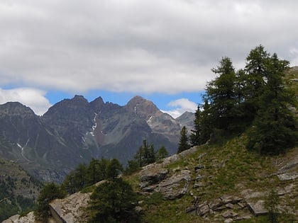
121 min walk • Becca di Luseney is a mountain of the Pennine Alps in Aosta Valley, northwest Italy. It has a pyramidal look on all four sides, and its north face is covered with a glacier.
 Dam
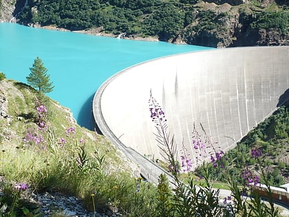
DamPlace Moulin Dam
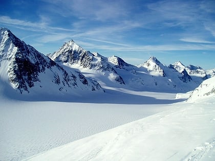
80 min walk • Place Moulin Dam is one of the largest dams in Europe and is in Bionaz, in Northern Italy. The 678 m long and 155 m high arch dam was constructed between 1955 and 1965 and has an artificial reservoir capable of holding 105 million sq m of water.
 Nature, Natural attraction, Mountain
La Singla
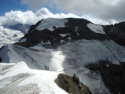
46 min walk • La Singla, also spelled La Sengla, is a 3,714 m mountain of the Pennine Alps, located on the border between Switzerland and Italy. It is the highest summit lying between the valleys of Bagnes and Valpelline. On its northern side La Singla overlooks the Otemma Glacier.
 Nature, Natural attraction, Mountain
Mont Brulé
125 min walk • Mont Brulé is a mountain of the Pennine Alps, located on the Swiss-Italian border, east of the Col Collon. On its northern side it overlooks the upper Arolla Glacier.
 Nature, Natural attraction, Mountain pass
Fenêtre de Durand
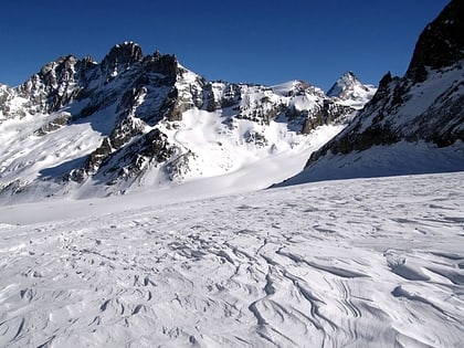
112 min walk • The Fenêtre de Durand is an Alpine pass connecting Switzerland and Italy. It connects Fionnay on its northern side to Valpelline on its southern side. At an elevation of 2,797 metres above sea level, the Fenêtre de Durand is the lowest pass on the main chain of the Alps between the Grand Combin and the Weissmies.
 Nature, Natural attraction, Mountain pass
Col Collon
102 min walk • Col Collon is a high mountain pass across the central Pennine Alps, connecting Arolla in the Swiss canton of Valais to Bionaz in the Italian region of Aosta Valley.
