Lodnerhütte - Rifugio Cima Fiammante, Texelgruppe Nature Park

Gallery (4)
Map

Map
Gallery
Facts and practical information
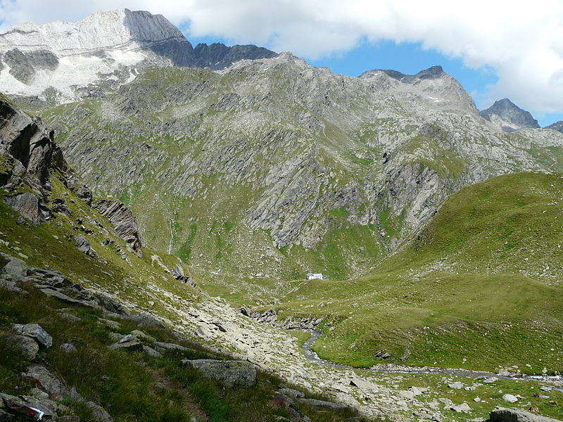
Lodnerhütte - Rifugio Cima Fiammante is a place located in Texelgruppe Nature Park (Trentino-South Tyrol autonomous region) and belongs to the category of hiking, alpine hut.
It is situated at an altitude of 7329 feet, and its geographical coordinates are 46°43'28"N latitude and 11°1'16"E longitude.
Among other places and attractions worth visiting in the area are: Lodner (natural attraction, 29 min walk), Hohe Weisse (natural attraction, 43 min walk), Roteck (natural attraction, 45 min walk).
Coordinates: 46°43'28"N, 11°1'16"E
Day trips


