Suldental, Stelvio National Park

Gallery (1)
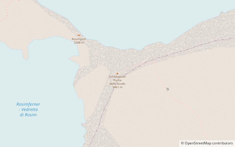
Map
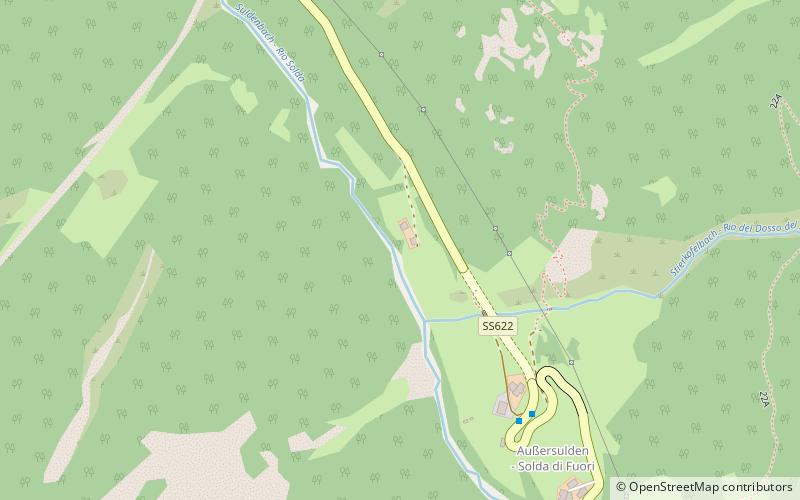
Map
Facts and practical information
The Suldental is a side valley of the Trafoi Valley in South Tyrol, Italy. The village in the valley is Sulden. ()
Coordinates: 46°33'58"N, 10°33'30"E
Address
Stelvio National Park
ContactAdd
Social media
Add
Day trips